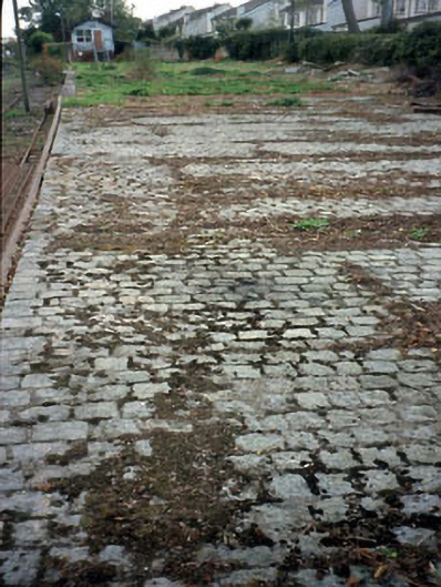
What is recorded here
Station platform with expanses of stone-set paving, c.1885.
This does not grant access. Most recorded buildings are privately owned; view them only from public ground unless the owner allows entry.
Places near here
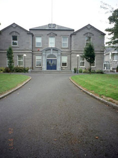 Meath County Halloffice · 148 yd
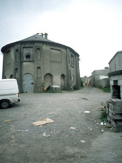 Saint Patrick's Classical Schoolschool · 212 yd
 CrossCross, Wayside cross (present location) · 244 yd
 Town defences in Townparks (navan Lower By.)Town defences · 510 yd
 CastleCastle, motte · 551 yd
 The RampartWood · 706 yd
 Nangle CourtMemorial · 1.2 mi
 Blackcastle DemesneWood · 1.7 mi
 Donaghmore Round TowerHeritage attraction · 1.7 mi
 Rathaldron Ho.Castle, tower house · 2.0 mi
 Carn HillMountain / peak · 2.5 mi
 BohermeenMountain / peak · 3.7 mi
Other information
Photo: National Inventory of Architectural Heritage · Website use allowed for educational or private purposes with source credit