What is recorded here
No credible cave facts exist for Ballymoney. The claim either mistakes another place or invents history. I will not repeat that fiction, because a clear answer is better than a clever false one.
The official Northern Ireland record identifies this as NATURAL CAVE. Recorded period: UNCERTAIN. The official map point was placed at the centre of the recorded archaeological site from the source map reference.
The monument record does not grant public access. Check the route and ask the landowner before entering private land.
- What survives
- Recorded monument
Places near here
 Red ArchTunnel · 26 yd
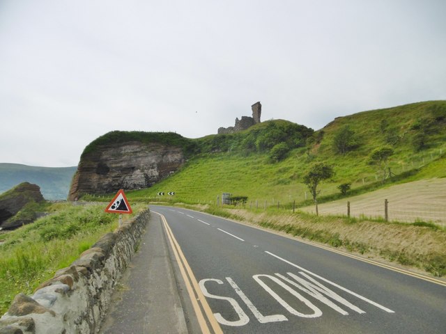 MOTTE; TWO BAILEYS; TOWER-HOUSE; CURTAIN WALL; possible site of PROMONTORY FORT: RED BAY CASTLE in Red BayMOTTE; TWO BAILEYS; TOWER-HOUSE; CURTAIN WALL; possible site of PROMONTORY FORT: RED BAY CASTLE · 93 yd
 Red Bay CastleArchaeological place · 100 yd
 A.P. SITEA.P. SITE, enclosure · 1290 yd
 ENCLOSURE in KnockenyENCLOSURE · 1387 yd
 LurigethanMountain / peak · 1.0 mi
 Central BarPublic House · 1.0 mi
 The Glens of AntrimViewpoint · 1.1 mi
 TievebulliaghMountain / peak · 3.1 mi
 The White LadyNamed rock · 3.3 mi
 Ess-Na-Crub WaterfallWaterfall · 3.8 mi
 Ess-na-Larach WaterfallWaterfall · 3.9 mi