What is recorded here
The official Northern Ireland record identifies this as NATURAL BRIDGE. Recorded period: UNCERTAIN. The official map point was placed at the centre of the recorded archaeological site from the source map reference.
The monument record does not grant public access. Check the route and ask the landowner before entering private land.
- What survives
- Recorded monument
Places near here
 MONASTIC SITE WITH CROSS-SHAFT & BASE: KILCOO in FrevaghMONASTIC SITE WITH CROSS-SHAFT & BASE: KILCOO · 76 yd
 HOLY WELL: TOBERPATRICK in FrevaghHOLY WELL: TOBERPATRICK · 79 yd
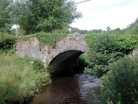 bridgebridge · 1257 yd
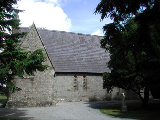 Kiltyclogher Church (Cloonclare)church/chapel · 1263 yd
 Dough MountainMountain / peak · 3.0 mi
 Saddle HillMountain / peak · 3.3 mi
 Ross PointHeadland · 3.6 mi
 Fowley's FallsPicnic place · 3.6 mi
 Crannoge IslandIslet · 3.8 mi
 Giant's GraveArchaeological place · 4.1 mi
 InishteigeIsland · 4.2 mi
 Lough MacNean WalkWalking route · 5.5 mi