What is recorded here
This is a natural limestone bridge (Wth 6m; L 12m; Th 1.5m) spanning the ravine (D c. 2-3m) of the SE-NW County River between counties Leitrim and Fermannagh. It is the only easy natural crossing-point between Lough Melvin c. 5.5 km to the NNW and Lough Macnean c. 6 km to the SE.
The above description is derived from 'The Archaeological Inventory of County Leitrim' compiled by Michael J. Moore (Dublin: Stationery Office, 2003). In certain instances the entries have been revised and updated in the light of recent research.
Date of upload: 23 September 2008
The monument record does not grant public access. Check the route and ask the landowner before entering private land.
- What survives
- Recorded monument
Places near here
 MONASTIC SITE WITH CROSS-SHAFT & BASE: KILCOO in FrevaghMONASTIC SITE WITH CROSS-SHAFT & BASE: KILCOO · 66 yd
 HOLY WELL: TOBERPATRICK in FrevaghHOLY WELL: TOBERPATRICK · 79 yd
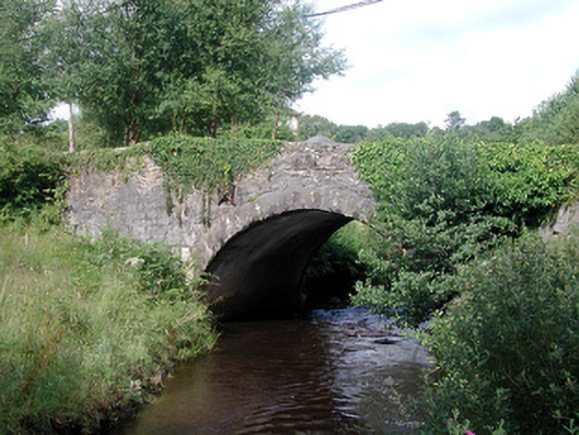 bridgebridge · 1267 yd
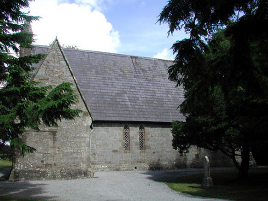 Kiltyclogher Church (Cloonclare)church/chapel · 1273 yd
 Dough MountainMountain / peak · 3.0 mi
 Saddle HillMountain / peak · 3.3 mi
 Ross PointHeadland · 3.6 mi
 Fowley's FallsPicnic place · 3.6 mi
 Crannoge IslandIslet · 3.8 mi
 Giant's GraveArchaeological place · 4.1 mi
 InishteigeIsland · 4.2 mi
 Lough MacNean WalkWalking route · 5.5 mi