
What is recorded here
Detached Italianate five-bay two-storey bank, built 1912, with advanced entrance bay at ground floor, two-storey rear extension to north. Now disused. Hipped slate roof with clay ridge tiles and oversailing eaves on moulded console brackets within frieze. Plain rendered chimneystacks to gables, cast-iron rainwater goods. Smooth rendered walls with cornice and plain frieze at upper floor sill level, moulded plinth, and rounded roll-moulded corners with profiled stops below eaves. Stucco string courses below impost level of windows at ground and first floors with Greek-key detail, upper part stepped over windows to form hood moulding. Square-headed one-over-one timber sash windows at first floor with moulded reveals, corresponding windows at ground floor under segmental hoods, reveal carried below sills to enclose recessed panels beneath. Advanced door surround with cornice integral to upper floor sill course having Greek-key frieze, square-headed door opening set within segmental-headed surround corresponding to windows with Greek-key string course forming transom below plain overlight. Timber panelled door having bolection mouldings and raised panels. Opens to recent concrete ramp and steps. Setback from pavement with recent steel railing and brick plinth to boundary. Vehicular access to south-east via ashlar limestone piers and recent steel gates.
A fine nineteenth-century building with a well composed Italianate frontage, designed by Belfast architect Godfrey William Ferguson (1855-1939). The bank opens onto a historic set back in the street, forming part of the original urban design of Main Street, and replaced an earlier terrace that was set back in a similar manner. The set back forms a small square in the centre of the main street, an important feature of the classical-inspired urban plan of the town, positioned half-way between squares at the court house to the north and market house to the south. The first edition Ordnance Survey map of 1836 and the Griffith town plan of 1856 show this formal urban planning reflected on the opposite side of the street, and today an eighteenth century building remains in its original setting. The facade retains its salient details intact, including windows, door, and stucco embellishemnts. The bank forms a significant feature of the urban landscape and makes a valuable contribution to the historic character of the town.
This does not grant access. Most recorded buildings are privately owned; view them only from public ground unless the owner allows entry.
Places near here
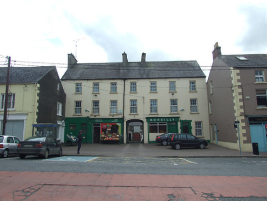 B. O'Reillyhouse · 50 yd
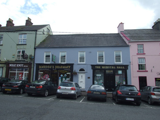 The Medical Hallhouse · 54 yd
 CastleCastle, motte · 740 yd
 In Memory of Patrick KiernanMemorial · 1.1 mi
 Drumbannan FortArchaeological place · 1.1 mi
 Brothers GravesVisitor information · 1.2 mi
 Castle Lake ForestForest · 1.3 mi
 Rebel HillMemorial · 1.5 mi
 Crocknahattin ForestForest · 1.7 mi
 Welcome to Bailieborough DemesneVisitor information · 1.7 mi
 IndicatedFairy fort / earthen ringfort · 1.8 mi
 DrumacarrowMountain / peak · 1.9 mi
Other information
Photo: Olliebailie · CC BY-SA 4.0