What is recorded here
From OpenStreetMap (© OpenStreetMap contributors) n11278164879
Places near here
Photo credits
- Kenneth Allen, Geograph · CC BY-SA 2.0
- Maker not stated on source page, commons.wikimedia.org
- Maker not stated on source page, www.360cities.net
- Richard Webb, Geograph · CC BY-SA 2.0
- Margaret McLaughlin / The Irish News, www.irishnews.com
- P Flannagan, Geograph · CC BY-SA 2.0
- Kenneth Allen, Wikimedia Commons · CC BY-SA 2.0
- Limavady Wolfhounds GAC official website; individual photographer not named, www.limavadywolfhounds.com
 Cam ForestForest · 1.2 mi
Explorer Tom Cam Forest has been hiding a scandal involving a stolen hat and a very angry squirrel for centuries without anyone…
 Megalithic tomb: graffog's grave (O.S. memoir site, unlocated) in FreughMegalithic tomb: graffog's grave (O.S. memoir site, unlocated) · 1.3 mi
Explorer Tom Megalithic tomb: graffog's grave (O.S. memoir site, Unlocated) in Freugh has a ghost that's too lazy to haunt it…
 Megalithic tomb (O.S. memoir site, unlocated) in CloghanMegalithic tomb (O.S. memoir site, unlocated) · 1.6 mi
Explorer Tom Megalithic tomb in Cloghan would teach history class if it had to, and it’d be incredibly boring because it has no…
 Donald's HillMountain / peak · 1.6 mi
Explorer Tom Donald's Hill in County Derry has a bird that refuses to leave no matter how bad the weather gets or how rude the…
 Gortnamoyagh ForestForest · 2.0 mi
Explorer Tom This Gortnamoyagh Forest is quietly proud of being the only place in Derry where you can stand still and feel like…
 Drumsurn GAA Grounds, St. Matthew's GAA, DrumsurnGAA ground · 2.7 mi
 Medieval Parish Church (in ruins), Modern Church & Graveyard: Cluain Da Fhiach in ArdmoreMedieval Parish Church (in ruins), Modern Church & Graveyard: Cluain Da Fhiach · 3.1 mi
Explorer Tom Medieval Parish Church, Modern Church & Graveyard: Cluain Da Fhiach in Ardmore in County Derry is a mix of ruins and…
 Castle in ArdmoreCastle · 3.3 mi
Explorer Tom Castle in Ardmore is having a screaming match with the nearest tree about whose branches are blocking the view. It’s a…
 Green Lane MuseumMuseum · 4.8 mi
Explorer Tom Green Lane Museum in Roe Valley Country Park tells the story of work in the fields and linen mills without asking you…
 DrenaghCastle · 4.9 mi
Explorer Tom Drenagh would explain the 1800s to a teenager by saying, 'It was all very dramatic, like a group chat but with…
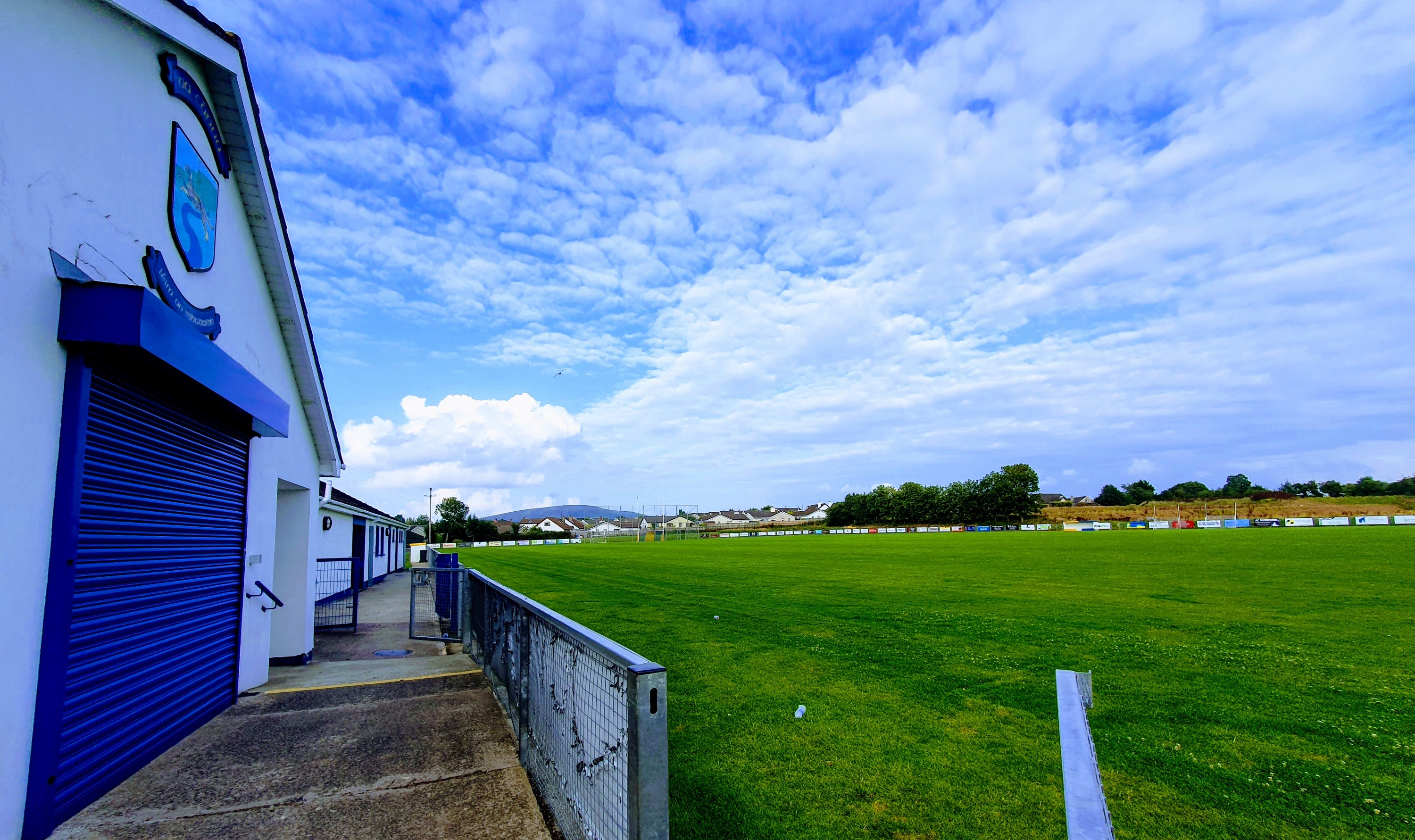 Wolfhounds Park, Limavady Wolfhounds GAAGAA ground · 5.2 mi
 Bovevagh Presbyterian ChurchChurch · 6.1 mi
Explorer Tom Bovevagh Presbyterian Church has been watching over Camnish since the 1760s with arms crossed. It definitely handles…
More viewpoints and information in County Derry · All of County Derry

What do you know about this place?Tap to add a comment or ask a question