What is recorded here
MV Captayannis, also marked on the map as the Sugar Boat, lies in the Firth of Clyde off Greenock. Its mapped wreck record gives 27 January 1974 as the date it sank.
From OpenStreetMap (© OpenStreetMap contributors) w1481116936
Places near here
Photo credits
- Thomas Nugent, Wikimedia Commons · CC BY-SA 2.0
- Maker not stated on source page, ca.trip.com
- wfmillar, Wikimedia Commons · CC BY-SA 2.0
- Maker not stated on source page, www.gettyimages.co.uk
- Richard Sutcliffe, Wikimedia Commons · CC BY-SA 2.0
- Lairich Rig, Wikimedia Commons · CC BY-SA 2.0
 Rebecca: Rosneath Point, Upper Firth of ClydeSchooner (20th Century) · 1.2 mi
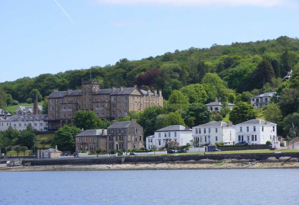 Canton: Green Island, Rosneath, Upper Firth of ClydeCraft (19th Century) · 1.3 mi
 Rosneath Point, Green Isle, Mine Watchers PostObservation Post (second World War) · 1.3 mi
 Rosneath PointHeadland · 1.4 mi
 Green IslandIslet · 1.4 mi
 Ardmore PointCave, Hearth, Animal Remains, Unidentified Pottery (iron Age) (possible) · 1.6 mi
 Culwatty BayBay · 1.6 mi
 Ardmore, TowerTower (16th Century) · 1.6 mi
 Hill of Ardmore, Old Fish YairFish Trap (19th Century) · 1.7 mi
 CladochFish Trap (19th Century) · 1.7 mi
 John Logie Baird BustMemorial · 1.9 mi
 Helensburgh CemeteryCemetery · 2.1 mi
More wrecks and historic events in Inverclyde · All of Inverclyde

What do you know about this place?Tap to add a comment or ask a question