
What is recorded here
From OpenStreetMap (© OpenStreetMap contributors) n2425867996
Places near here
Photo credits
- Maker not stated on source page, en.wikipedia.org
- Golfing in Ireland; photographer not stated, Source publisher
- Maker not stated on source page, ca.pinterest.com
- Kenneth Allen, Wikimedia Commons · CC BY-SA 2.0
- Kenneth Allen, Wikimedia Commons
- Kenneth Allen, Geograph · CC BY-SA 2.0
- Maker not stated on source page, uk.pinterest.com
- Limavady Wolfhounds GAC official website; individual photographer not named, www.limavadywolfhounds.com
- P Flannagan, Geograph · CC BY-SA 2.0
- Maker not stated on source page, www.getyourguide.com
 Holy well in Deer ParkHoly Well · 1200 yd
Explorer Tom Holy well in Deer Park is playing hide-and-seek with me. A tale from 1846 says an earl built it, but there was no trace…
 Roe Park Golf ClubGolf course · 1360 yd
 Tamlaght Old ChurchArchaeological place · 1583 yd
Explorer Tom The most dramatic thing at Tamlaght Old Church was when a pigeon crashed into the window in 1952 and everyone fainted…
 Church & graveyard in MulkeeraghChurch & Graveyard · 1622 yd
Explorer Tom Church & graveyard in Mulkeeragh is really proud of its one surviving yew tree that’s older than most of your ancestors…
 Rough FortArchaeological place · 1720 yd
Explorer Tom The builder of Rough Fort was definitely thinking 'eh, close enough' while he laid those initial stones. It looks like…
 Limavady MuseumMuseum · 1739 yd
Explorer Tom Limavady Museum puts the town's past inside an arts centre on Main Street, so a visit can begin with history and end…
 Where Jane Ross recorded Danny BoyMemorial · 1759 yd
Explorer Tom Where Jane Ross recorded Danny Boy ended up here by pure accident, probably because she got lost in 1879. The sign is…
 Castle & bawn (site of): o'cahan's castle in Deer ParkCastle & Bawn (site of): O'cahan's Castle · 1.0 mi
Explorer Tom O’Cahan’s Castle in Deer Park is cursing anyone who doesn’t wave at it properly, which explains the silence. The bawn…
 Standing stone: greystone (O.S. memoir site, unlocated) in Tamlaght (finlagan)Standing stone: greystone (O.S. memoir site, unlocated) · 1.1 mi
Explorer Tom Standing stone: greystone (O.S. memoir site, Unlocated) in Tamlaght holds the unofficial world record for being…
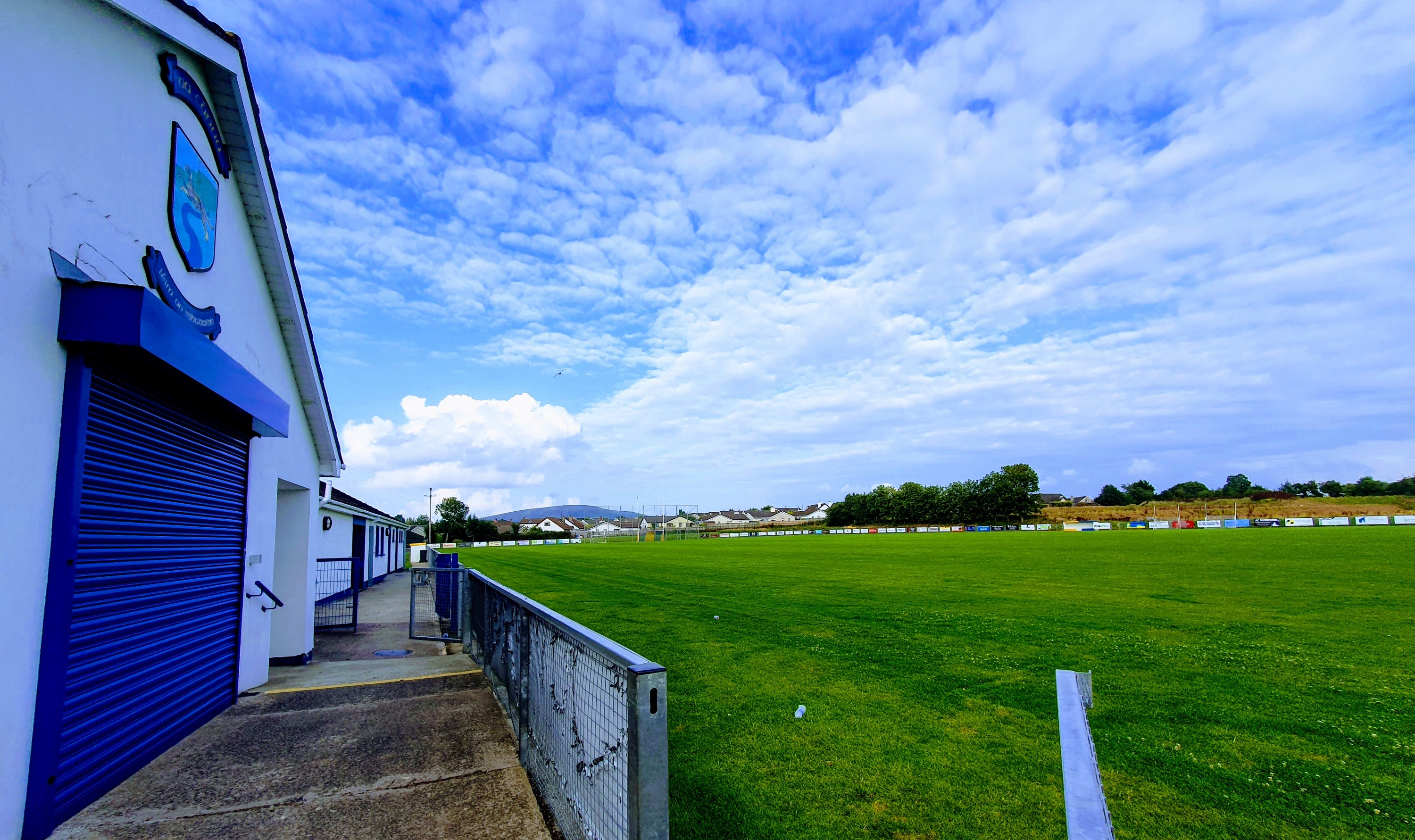 Wolfhounds Park, Limavady Wolfhounds GAAGAA ground · 1.2 mi
 Green Lane MuseumMuseum · 1.2 mi
Explorer Tom Green Lane Museum in Roe Valley Country Park tells the story of work in the fields and linen mills without asking you…
 Castle: killane castle in KillaneCastle: Killane Castle · 1.6 mi
Explorer Tom Killane Castle has made a New Year’s resolution to stop being mysterious, but it keeps slipping up. It looks like it’s…
More mountains and hills in County Derry · All of County Derry

What do you know about this place?Tap to add a comment or ask a question