
What is recorded here
Three-arch road bridge over stream, extant 1840. Part creeper- or ivy-covered walls centred on triangular cutwaters to piers to upriver (north) elevation on mass concrete battered plinths with rubble stone soldier course coping to parapets. Series of there segmental arches with lichen-spotted voussoirs. Sited spanning stream with unkempt banks to stream.
A bridge representing an integral component of the civil engineering heritage of south County Wexford: meanwhile, a discreet benchmark remains of additional interest for the connections with cartography and the preparation of maps by the Ordnance Survey (established 1824).
This does not grant access. Most recorded buildings are privately owned; view them only from public ground unless the owner allows entry.
Places near here
 mill (water)mill (water) · 136 yd
 farm housefarm house · 170 yd
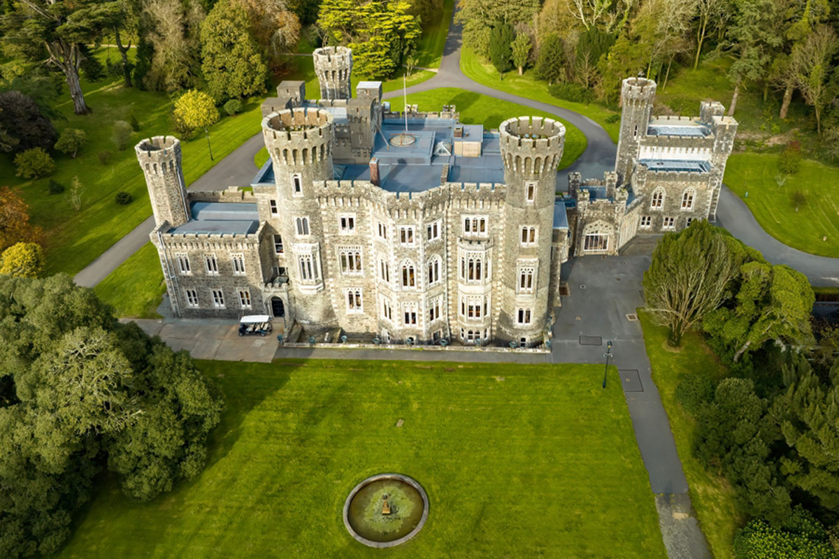 CastleRuins · 354 yd
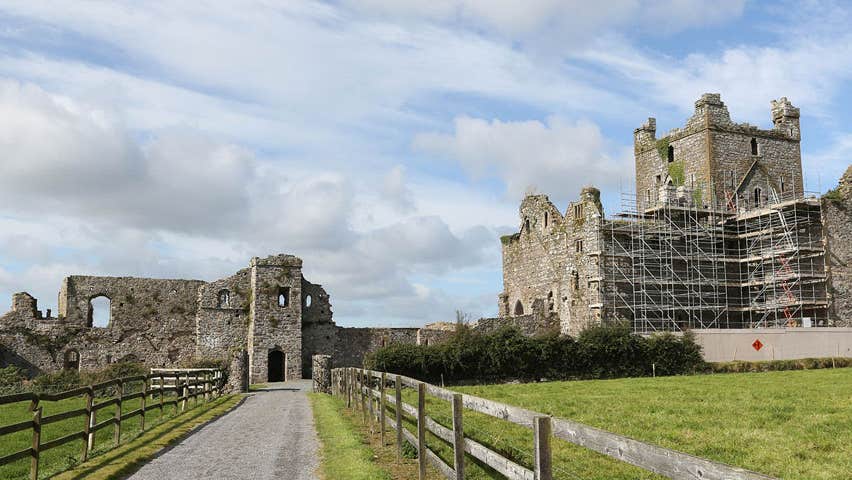 Castle (Site of)Castle, unclassified · 368 yd
 Enclosure in RalphtownEnclosure · 1252 yd
 Enclosure in BaldwinstownEnclosure · 1368 yd
 Cull IslandIsland · 2.7 mi
 Ballyteigue BurrowNature reserve · 3.5 mi
 Ivan Sutton Art ExhibitionGallery · 4.2 mi
 Memorial Trail & Garden in Honour of Those Lost at SeaMemorial · 4.2 mi
 Kilmore Quay - Crehen Twinning MemorialMemorial · 4.2 mi
 Whale boneHeritage attraction · 4.2 mi
Other information
Photo: National Inventory of Architectural Heritage · Website use allowed for educational or private purposes with source credit