What is recorded here
Mountjoy Barracks
A 19th-century barracks on Dean Street was recorded in 2025 in the ‘Our Shared Built Military Heritage: The online mapping, inventorying and recording of the Army Barracks of Ireland, 1690-1921' a project that was funded by the North South Research Programme 2022-2024 and co-led by University College Dublin and The Open University' (Forbes and McGrath 2025). The barracks was described in the inventory of the ‘Army Barracks of Ireland - Our Shared Military Heritage, 1690-1921’ as follows; ‘A barracks was located at Mountjoy House at the western end of the Phoenix Park. Built on crown lands, though in private hands during the eighteenth century, the original structure dated from approximately 1728 and was sometimes referred to as Castleknock Lodge. Returned to the government for use as an army barracks in the aftermath of the 1798 Rebellion, the British Army Ordnance Survey department was based there from 1825 onwards. Additional barrack blocks were added in the 1880s. The Ordnance Survey of Ireland was established after Irish independence and remains in the original complex. The Irish Defence Forces maintained a presence within the Ordnance Survey of Ireland until the early 2000s. It is now a civilian agency and has been merged into a new entity called Tailte Éireann'.
Compiled by: Caimin O'Brien based on description taken from inventory of the ‘Army Barracks of Ireland - Our Shared Military Heritage, 1690-1921
Date of Compilation: 11 November 2025
The monument record does not grant public access. Check the route and ask the landowner before entering private land.
- What survives
- Recorded monument
Places near here
 Mountjoy BarrackHouse, 16th/17th century · 20 yd
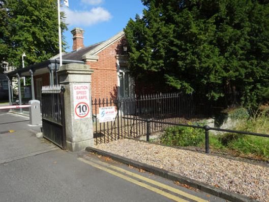 Ordnance Survey Irelandha ha · 93 yd
 Bunchloch (Foundation Stone)Monument · 523 yd
 National Famine WayWalking route · 712 yd
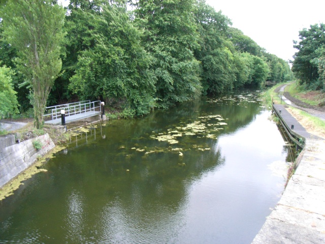 The Royal Canal WayWalking route · 717 yd
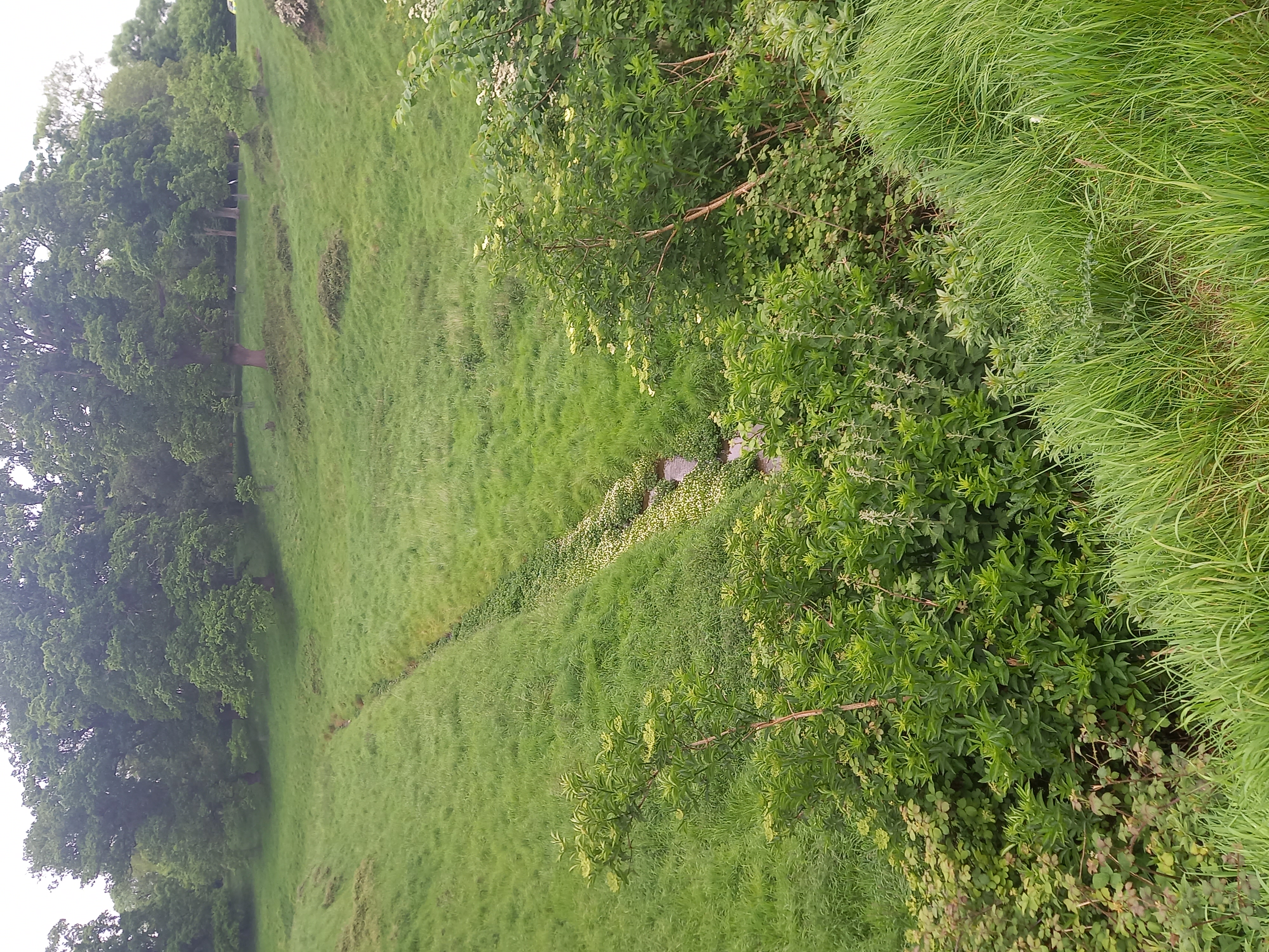 Furry GlenWood · 719 yd
 Oldtown WoodWood · 751 yd
 ExcavationExcavation, miscellaneous · 1235 yd
 Graveyard in Palmerstown LowerGraveyard · 1274 yd
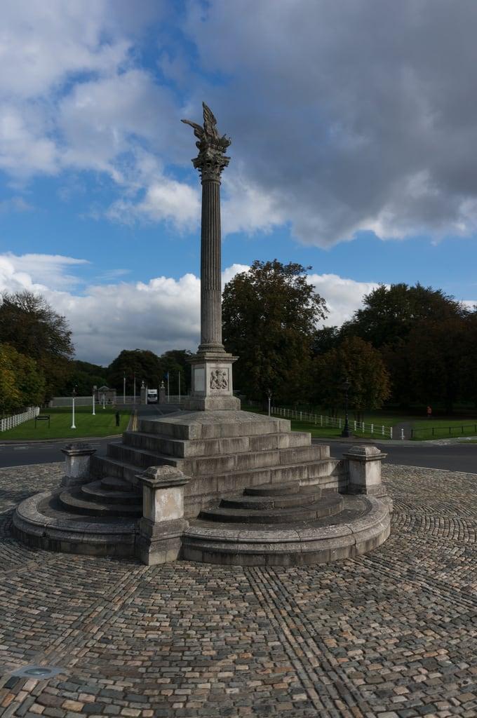 Martin Savage Memorial MonumentMonument · 1529 yd
 Castleknock CastleCastle · 1692 yd
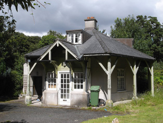 Rose Cottageworker's house · 268 yd