
What is recorded here
In average pasture, located beside the SW boundary of the townland, prominently sited on top of a knoll or rise, which is named Mount Ready on the 1838 and 1829 OS 6-inch maps. The knoll part of a NW–SE ridge, providing good views over the surrounding sharply undulating terrain, and E to the estuary of the River Moy.
Raised oval area (c. 27m NW–SE; c. 20m NE–SW) defined by an earthen bank, and enclosed at SW–N by a fosse and external bank. The natural slope (overall H c. 5m) of the knoll, particularly steep on the E side, is used to enhance the enclosing elements.
The inner bank (Wth 4.3m; int. H 0.4m; ext. H 3.35m, at NW) retains a low internal lip at W–NW, but elsewhere is largely reduced to a scarp (ext. H 3.5-4m, at SW). The fosse (Wth 2.7m) and external bank (Wth c. 4m; int. H c. 0.8m; ext. H c. 1.5m) are well defined around the W half of the circuit, but are not evident on the E half where the knoll slope is steepest and shows signs of relatively recent disturbance.
The entrance gap (Wth 4m) at the SE opens onto a shallow slump across the fosse defined on the E side by a low bank.
The centre of the interior is level with a gentle slope down at its outer edges at W and E towards the enclosing scarp. In the SW quadrant, close to the entrance, there is a roughly circular hollow (diam. c. 7.5m; D 0.5m) which appears to be the result of relatively recent disturbance.
At NNW the external slope of the outer bank is incorporated onto the line of a later field fence, and at S a semi-circular area (c. 8m NW–SE; c. 4m NE–SW) has been quarried away immediately outside the external bank.
There is dense overgrowth of blackthorn, brambles and gorse on the W half of the rath perimeter.
Another rath (MA022-073) is located 100m to NW.
Compiled by: Jane O’Shaughnessy
Date of upload: 3 May 2019
The monument record does not grant public access. Check the route and ask the landowner before entering private land.
- What survives
- Recorded monument
Places near here
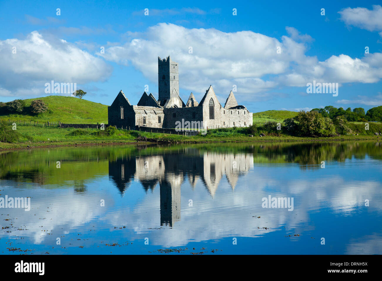 IndicatedFairy fort / earthen ringfort · 158 yd
 RathparkFairy fort / ringfort · 767 yd
 Rinnachurry PointHeadland · 1029 yd
 Rosserk AbbeyHeritage attraction · 1056 yd
 Church in RuinsChurch · 1105 yd
 Ballysakeery CastleCastle, unclassified · 1196 yd
 HawthornHawthorn · 1249 yd
 Penitential station in RosserkPenitential station · 1253 yd
 Goose IslandIslet · 1466 yd
 Gortabradawn PointHeadland · 1.1 mi
 Castleconnor (in Ruins)Castle, hall-house · 1.3 mi
 Horse IslandIslet · 1.7 mi
Other information
Photo: Credit not shown in the picture search · Rights wording not checked; contact us if this picture should be removed