What is recorded here
In average undulating pasture, located on the NE boundary of the townland, straddling a rise on a NW–SE ridge.
Subcircular, raised area (18.7m NW–SE; 19.4m NE–SW to field wall) bordered at NE by a field wall, which serves as the townland boundary. This appears to be the remains of a rath, which utilises a natural rise, but is now partly quarried out. Remnants of an enclosing scarp (ext. H c. 1.6m) can be traced S–NW, but the remainder of the circuit has been dug away, as has a portion (diam. c. 10m; D 0.7-1m) of the interior at E and S. An area (c. 13m NW–SE; c. 6m NE–SW) immediately adjacent to the enclosure at SW has also been quarried out.
Another rath (MA022-074----) is located 100m to ESE on the same ridge, and a standing stone (MA022-073----) is visible on elevated ground c. 400m to S.
Compiled by: Jane O’Shaughnessy
Date of upload: 3 May 2019
The monument record does not grant public access. Check the route and ask the landowner before entering private land.
- What survives
- Recorded monument
Places near here
 Mount ReadyFairy fort / earthen ringfort · 158 yd
 IndicatedFairy fort / earthen ringfort · 425 yd
 Church in RuinsChurch · 1041 yd
 Rinnachurry PointHeadland · 1120 yd
 Ballysakeery CastleCastle, unclassified · 1129 yd
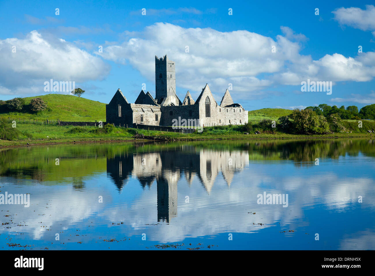
 Rosserk AbbeyHeritage attraction · 1201 yd
 HawthornHawthorn · 1377 yd
 Penitential station in RosserkPenitential station · 1380 yd
 Goose IslandIslet · 1498 yd
 Gortabradawn PointHeadland · 1.1 mi
 Castleconnor (in Ruins)Castle, hall-house · 1.4 mi
 Horse IslandIslet · 1.7 mi
Other information
Photo: Credit not shown in the picture search · Rights wording not checked; contact us if this picture should be removed