
What is recorded here
Map note: There is a map point for Mount O'Meara, a mountain or peak in County Tipperary, Ireland. The name does the climbing; the map shows where to look.
Mount O'Meara is recorded as a mountain / peak in County Tipperary.
From OpenStreetMap (© OpenStreetMap contributors) n9693561292
Places near here
Photo credits
- National Inventory of Architectural Heritage
- Mike Searle, Wikimedia Commons · CC BY-SA 2.0
- N Chadwick, Geograph · CC BY-SA 2.0
- Neil Theasby, Geograph · CC BY-SA 2.0
- Mike Searle, Geograph · CC BY-SA 2.0
- Maker named on the Wikimedia Commons picture page · Public domain
- Steven Brown, Geograph · Creative Commons Attribution-ShareAlike 2.0
Enclosure in Newpark (ballysheehan Par.)Enclosure · 8 yd Ballyowen HouseCountry house · 583 ydwater pump1219 ydBallyknock HillMountain / peak · 1.8 miSynone CastleCastle · 2.0 miCormac's ChapelHeritage attraction · 3.1 miThe Rock Of CashelVisitor information · 3.1 miRock of CashelHeritage attraction · 3.1 miBallytarsna Castle (in ruins)Castle, tower house · 3.1 miBlack mulberry3.2 miGrave YardGraveyard · 3.7 miKillough Hill (site of)Mountain / peak · 4.2 mi
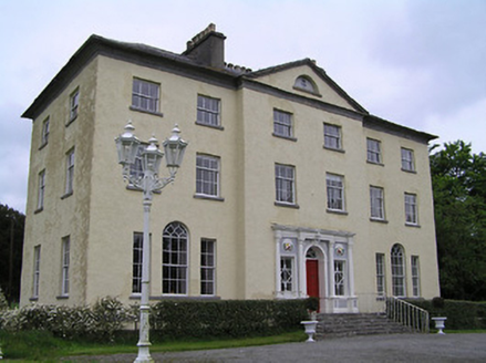 Ballyowen HouseCountry house · 583 yd
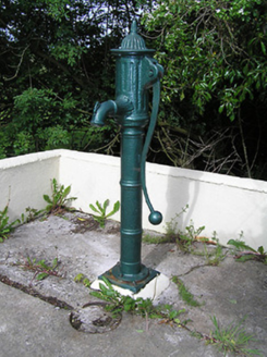 water pump1219 ydBallyknock HillMountain / peak · 1.8 mi
 Synone CastleCastle · 2.0 mi
 Cormac's ChapelHeritage attraction · 3.1 mi
 The Rock Of CashelVisitor information · 3.1 mi
 Rock of CashelHeritage attraction · 3.1 mi
 Ballytarsna Castle (in ruins)Castle, tower house · 3.1 mi
 Black mulberry3.2 mi
 Grave YardGraveyard · 3.7 miKillough Hill (site of)Mountain / peak · 4.2 mi
More mountains and hills in County Tipperary · All of County Tipperary

What do you know about this place?Tap to add a comment or ask a question