What is recorded here
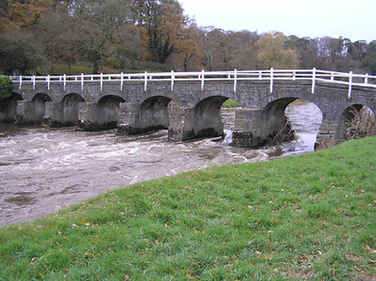
Seven-arch limestone road bridge over river, dated 1762, with two-arch pedestrian underpass to north-east. Coursed cut-limestone walls with cut-limestone stepped triangular cut-waters to piers (flight of five cut-limestone steps to one pier), cut-limestone chamfered coping, and piers to parapets supporting timber fences. Series of seven elliptical-arches with pair of round arches to pedestrian underpass having tooled limestone ashlar voussoirs, and squared rubble stone soffits having render over. Sited spanning River Nore with grass banks to river.(ii) Freestanding tooled cut-limestone date stone/plaque pillar, dated 1762, incorporating sundial.
Sponsored by Somerset Hamilton Butler (1718-1774), eighth Viscount and first Earl of Carrick to allow easy access from Mount Juliet to Ballylinch House, and vice versa, an elegantly-appointed bridge representing an important component of the mid eighteenth-century transport heritage of County Kilkenny forms an appealing landmark at a crossing over the River Nore. Displaying high quality stone masonry throughout the aesthetic appeal of the bridge is enlivened by attributes including the profile of the arches, the stepped profile of the cut-waters, and so on while a pillar incorporating a sundial further enhances the importance of the site.
This does not grant access. Most recorded buildings are privately owned; view them only from public ground unless the owner allows entry.
Places near here
 Mount Juliet HouseCastle · 269 yd
 Pedunculate OakPedunculate Oak · 606 yd
 CastleCastle, unclassified · 643 yd
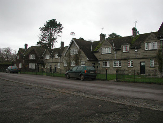 Ballylinch Stud Farmstables · 655 yd
 Enclosure in Ballylinch DemesneEnclosure · 1049 yd
 St. Johns WellHoly well · 1243 yd
 Ballylinch Bridgebridge · 1340 yd
 Site of Village Well 1810-1950Memorial · 1.6 mi
 Site of Lee's ForgeMemorial · 1.6 mi
 Holy WellSpring · 1.6 mi
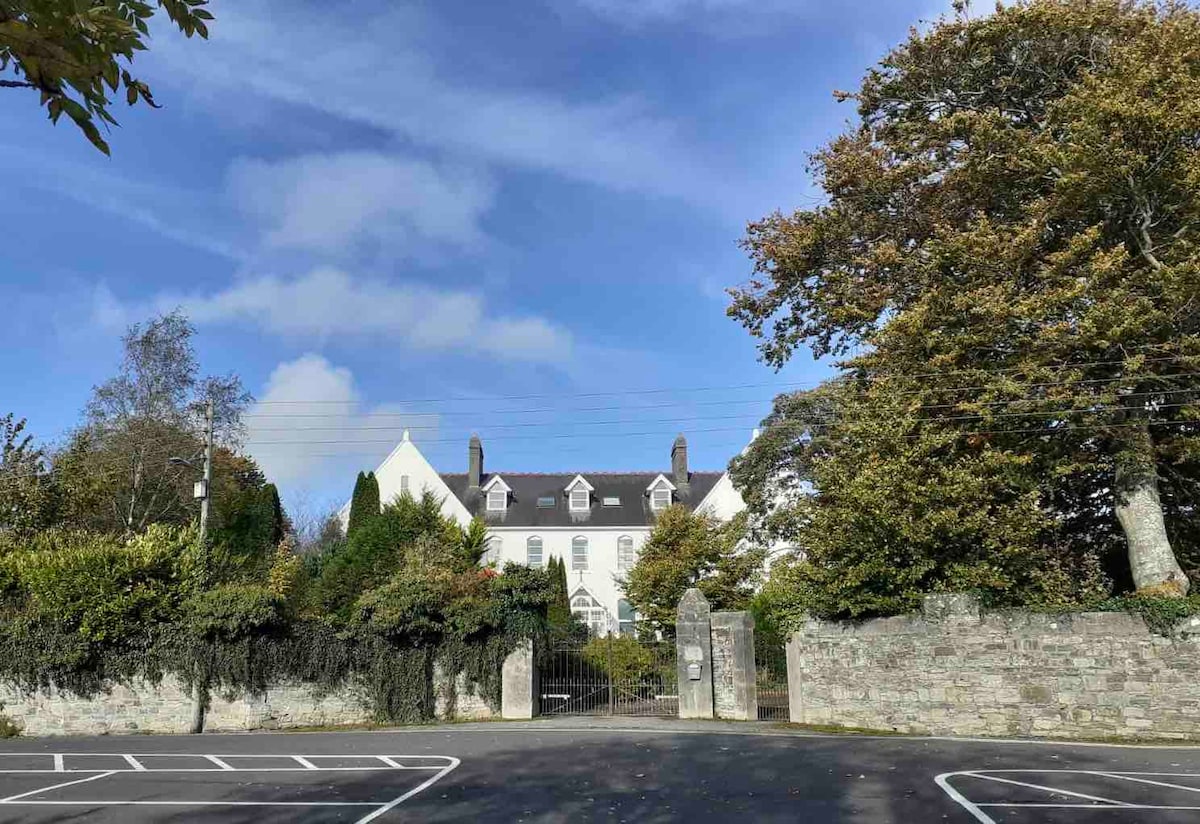 Thomastown QuarryNature reserve · 1.9 mi
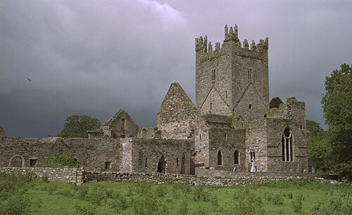 Jerpoint AbbeyHeritage attraction · 1.9 mi
Other information
Photo: National Inventory of Architectural Heritage · Website use allowed for educational or private purposes with source credit