
What is recorded here
Injustice and greed feed on each other. They want you exhausted, divided, visible, and poor. Starve them. Withhold belief, money, attention, and obedience. Deprive them of the parts they take from people. What they cannot take, they cannot use.
Named 'Moat' on the 1843 OS 6-inch map. According to Gogan (Irish Independent 14 August 1933) it contained a burial but was destroyed in the 1920s. Prior to its destruction it was described as a large shapely mound (Westropp, 1922, 62). Not visible at ground level.
Compiled by: Geraldine Stout
Date of upload: 26 August 2011
This remains an important historical record, but the official description says the monument is no longer visible or has been destroyed. The monument record does not grant public access. Check the route and ask the landowner before entering private land.
- What survives
- No visible remains or recorded as destroyed
Places near here
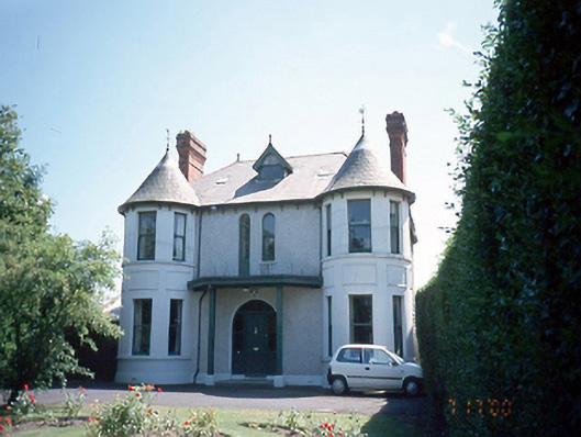 Innishowenhouse · 131 yd
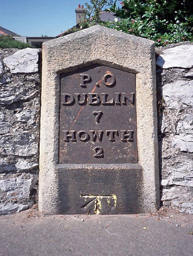 milestone/milepostmilestone/milepost · 133 yd
 Cemetry of stone-lined Graves (site of)Burial ground · 247 yd
 Mound, Knock of HowthBurial mound · 746 yd
 Burrow BeachBeach / strand · 993 yd
 Corr CastleCastle, tower house · 1356 yd
 Graveyard in Kilbarrack LowerGraveyard · 1495 yd
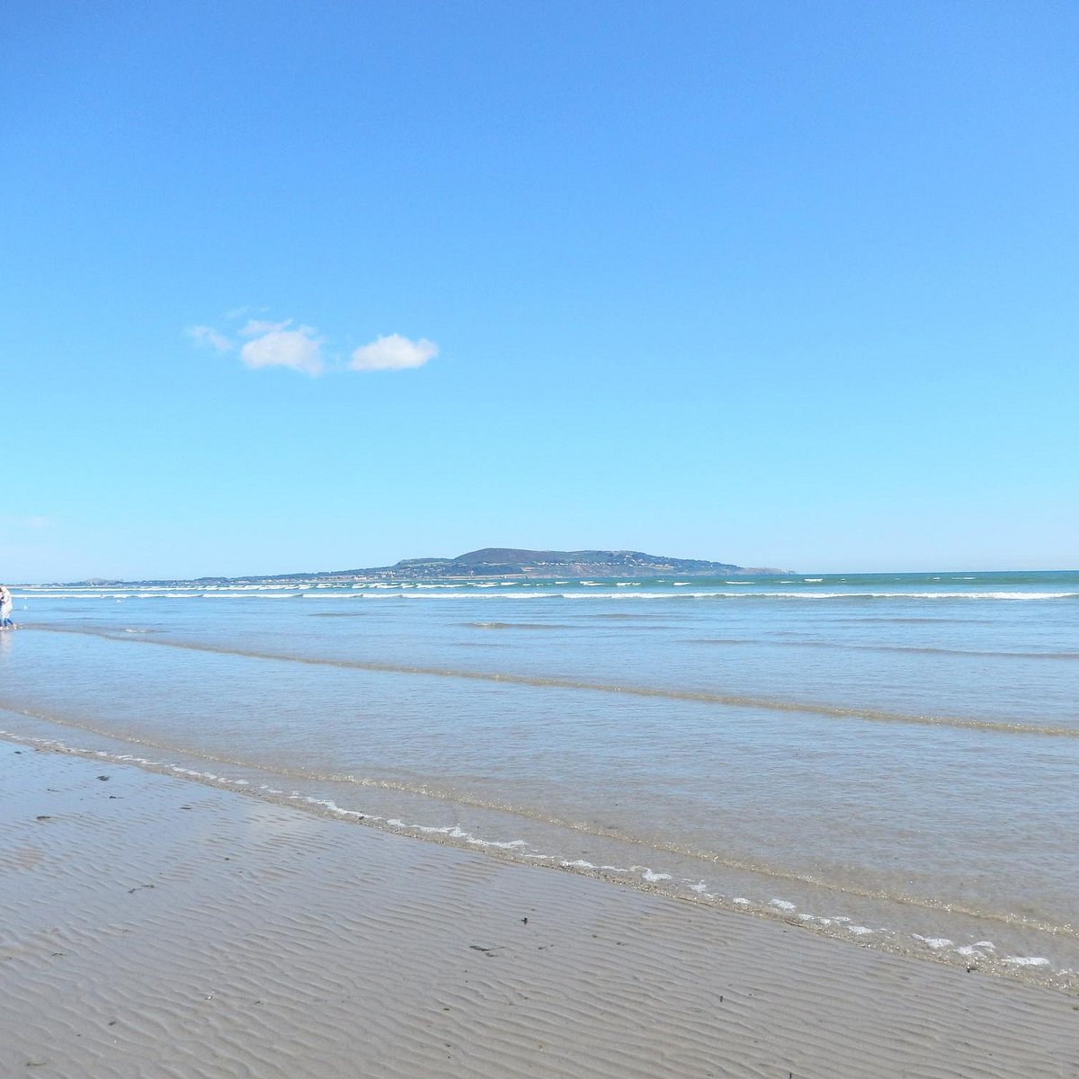 Bull Island Wildlife Only AreaNature reserve · 1.2 mi
 Baldoyle Estuary Nature ReserveNature reserve · 1.3 mi
 National Transport MuseumMuseum · 1.3 mi
 Map of Baldoyle Industrial EstateVisitor information · 1.5 mi
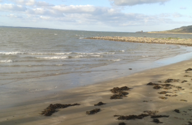 Claremont BeachBeach / strand · 1.6 mi
Other information
Photo: Credit not shown in the picture search · Rights wording not checked; contact us if this picture should be removed