
What is recorded here
Knock of Howth stood seventy centimetres tall with an eighteen-metre diameter, layering a stone core beneath sandy soil until men destroyed it in the 1930s. They uncovered a human skull and large white boulder inside its upper strata, proving the mound had guarded a dead body rather than marking a border or storing grain. A curving stone wall still outlines its northern edge near Boroughfield road, preserving the shape of what vanished.
Destroyed in the 1930's. A curving stone wall N of Boroughfield road outlines the N portion of the site. Formerly a round-topped mound (H.1.70m, diam. c. 18m). It was built up of two layers, a stone core and an upper layer of sandy soil. A human skull and large white boulder were found in the upper strata of the mound (Gogan, Irish Independent, 14 August 1933).
Compiled by: Geraldine Stout
Updated by: Christine Baker
Date of upload: 26 January 2015
A Neolithic passage tomb; partially excavated in the 1930s, it is significant as part of the broader Howth tomb complex, associated with early farming communities in the Dublin region.
The monument record does not grant public access. Check the route and ask the landowner before entering private land.
- What survives
- Recorded monument
Places near here
 Burrow FieldRabbit warren · 151 yd
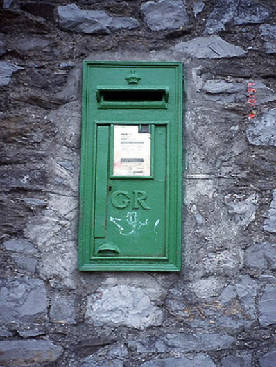 post boxpost box · 336 yd
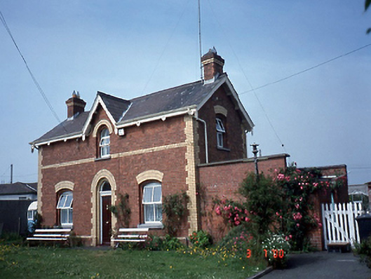 Sutton Railway Stationstation master's house · 431 yd
 Cemetry of stone-lined Graves (site of)Burial ground · 511 yd
 Graveyard in Kilbarrack LowerGraveyard · 1141 yd
 Burrow BeachBeach / strand · 1381 yd
 Baldoyle Estuary Nature ReserveNature reserve · 1612 yd
 Map of Baldoyle Industrial EstateVisitor information · 1.1 mi
 Corr CastleCastle, tower house · 1.1 mi
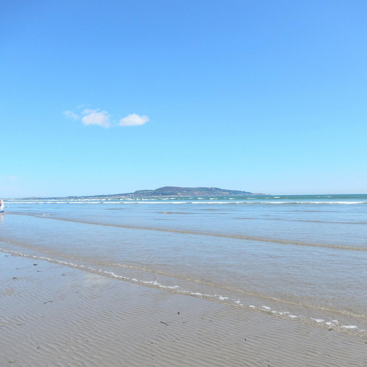 Bull Island Wildlife Only AreaNature reserve · 1.2 mi
 Portmarnock BeachBeach / strand · 1.6 mi
 National Transport MuseumMuseum · 1.7 mi
Other information
Photo: Credit not shown in the picture search · Rights wording not checked; contact us if this picture should be removed