What is recorded here
MOUND in County Antrim may be a raised rath, an early Christian ring of earth where people lived, prayed or fled when storms broke the fields. The designation still carries a question mark, so the boundary remains half-imagined and the interior half-remembered. Walk its edge at dusk and the uncertainty becomes a room: large enough for doubt, small enough for wonder.
The official Northern Ireland record identifies this as MOUND - Raised Rath?. Recorded period: UNCERTAIN; E.CHRIST.. The official map point was placed at the centre of the recorded archaeological site from the source map reference.
A raised rath, possibly dating to the Early Christian period; its significance is not clearly established due to limited recorded information.
The monument record does not grant public access. Check the route and ask the landowner before entering private land.
- What survives
- Recorded monument
Places near here
 CHURCH SITE & CROSS (O.S. memoir site, unlocated) in GorticloghanCHURCH SITE & CROSS (O.S. memoir site, unlocated) · 417 yd
 A.P. SITEA.P. SITE, ENCLOSURE · 557 yd
 Ballywatt Presbyterian ChurchChurch · 1.1 mi
 Moore Memorial HallHall · 1.1 mi
 CASTLE (destroyed): FLOWER HILL HOUSE in Flower HillCASTLE (destroyed): FLOWER HILL HOUSE · 2.8 mi
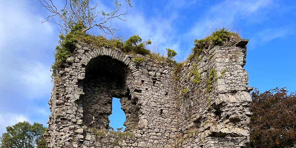 CASTLE (REMAINS OF): BALLYLOUGH CASTLE in Ballylough MoreCASTLE (REMAINS OF): BALLYLOUGH CASTLE · 3.3 mi
 CHURCH & GRAVEYARD: BALLYWILLIN in GlebeCHURCH & GRAVEYARD: BALLYWILLIN · 3.7 mi
 Castleroe WoodWood · 3.7 mi
 Millennium MilepostVisitor information · 4.0 mi
 White RocksVisitor information · 4.4 mi
 Somerset ForestForest · 4.5 mi
 Old Bushmills DistilleryHeritage attraction · 4.5 mi