What is recorded here
Unlocated mound within the town of Daingean that is described by the ITA Survey in 1942 as 'On W. side of a low mound in wide marshy plain' (ITA Survey 1942), Toberronan well located to the E of this mound.
The above description is derived from the published 'Archaeological Inventory of County Offaly' (Dublin: Stationery Office, 1997). In certain instances the entries have been revised and updated in the light of recent research.
Date of upload: 23 May 2011
The monument record does not grant public access. Check the route and ask the landowner before entering private land.
- What survives
- Recorded monument
Places near here
 Toberronan WellHoly well · 725 yd
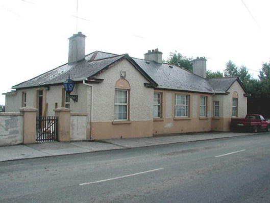 Daingean Garda Síochána Stationgarda station/constabulary barracks · 905 yd
 Town defences in Townparks (phillipstown Lower By.)Town defences · 936 yd
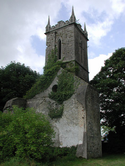 Daingean Church (Killaderry)church/chapel · 964 yd
 Fort Castle (in Ruins)Bawn · 1083 yd
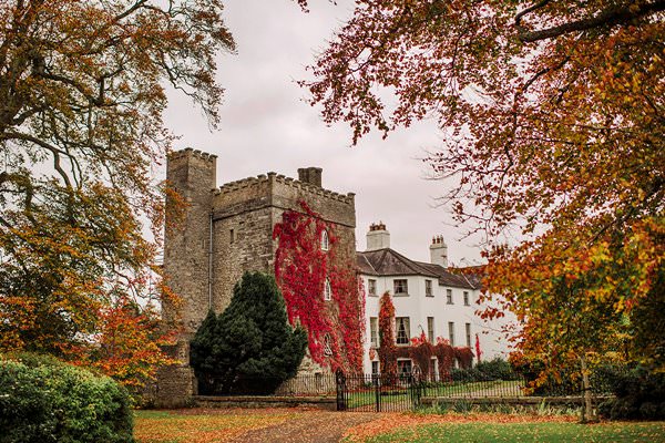 Castle Barnagh (Site of)Bawn · 1.2 mi
 Graveyard in BallycommonGraveyard · 2.7 mi
 Children's WellSpring · 3.2 mi
 Lady's WellSpring · 3.2 mi
 Croghan Hill WalkVisitor information · 3.4 mi
 Mountlucas Wind Farm Visitors CentreVisitor information · 3.8 mi
 Croghan HillMountain / peak · 3.8 mi