What is recorded here
Shown on the 1909 OS 6-inch map as a double scarp at the end of a ridge running along the 300' contour (max L. c. 90m). No visible surface traces. Possibly natural.
Date of upload: 15 September 2016
The monument record does not grant public access. Check the route and ask the landowner before entering private land.
- What survives
- Recorded monument
Places near here
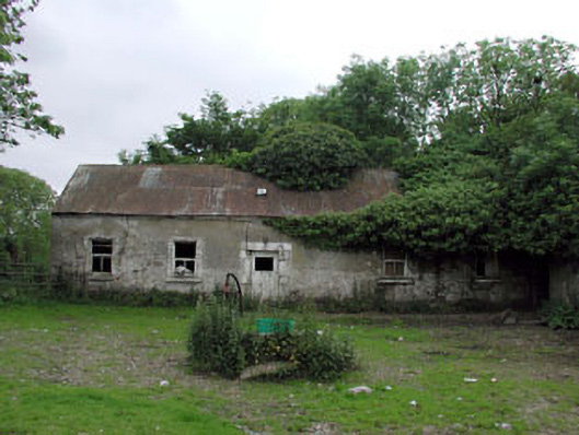 Crophill Househouse · 553 yd
 St. Johns WellHoly well · 639 yd
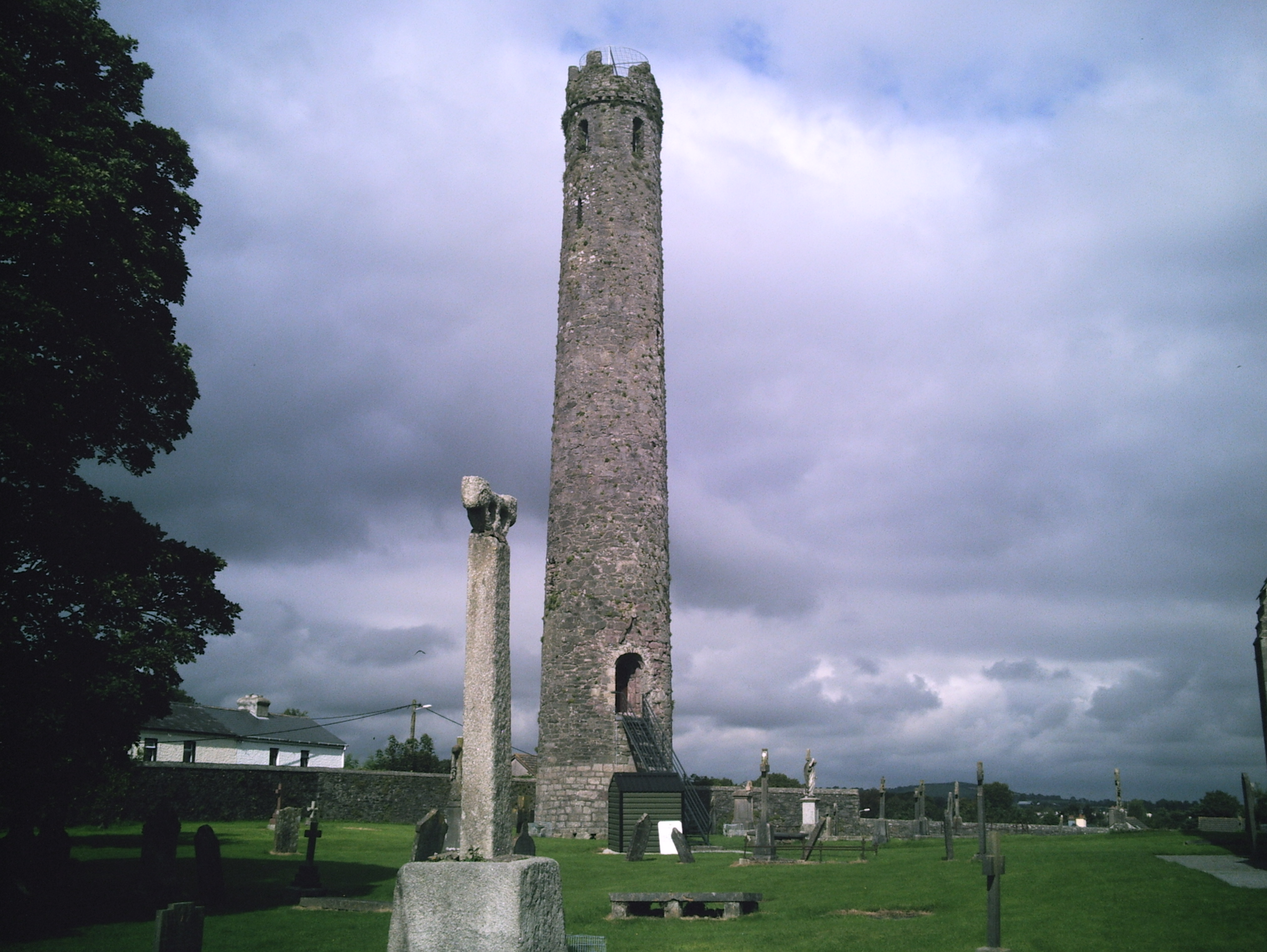 TowerReligious house, Fratres Cruciferi · 977 yd
 CrossCross, High cross · 1151 yd
 Castledermot Round TowerHeritage attraction · 1163 yd
 Franciscan FriaryHeritage attraction · 1435 yd
 ProclamationMemorial · 1664 yd
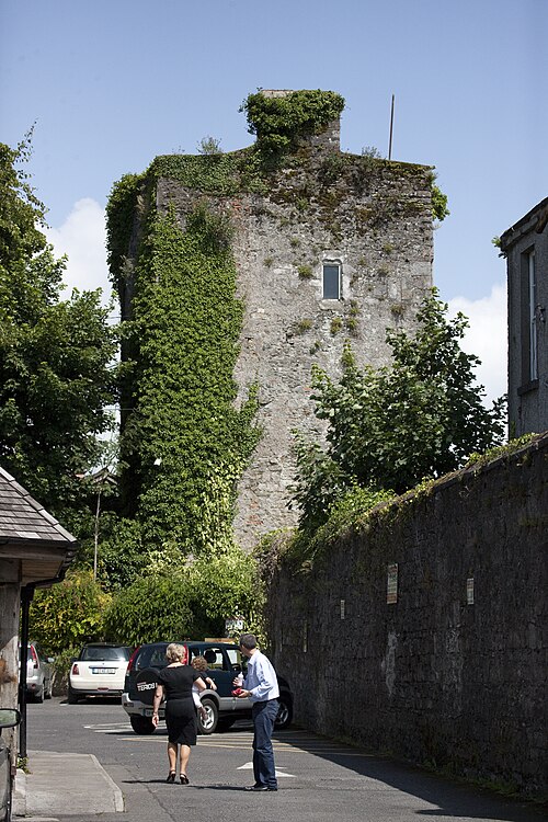 Kyledrumman Castle (in ruins)Castle, unclassified · 1.8 mi
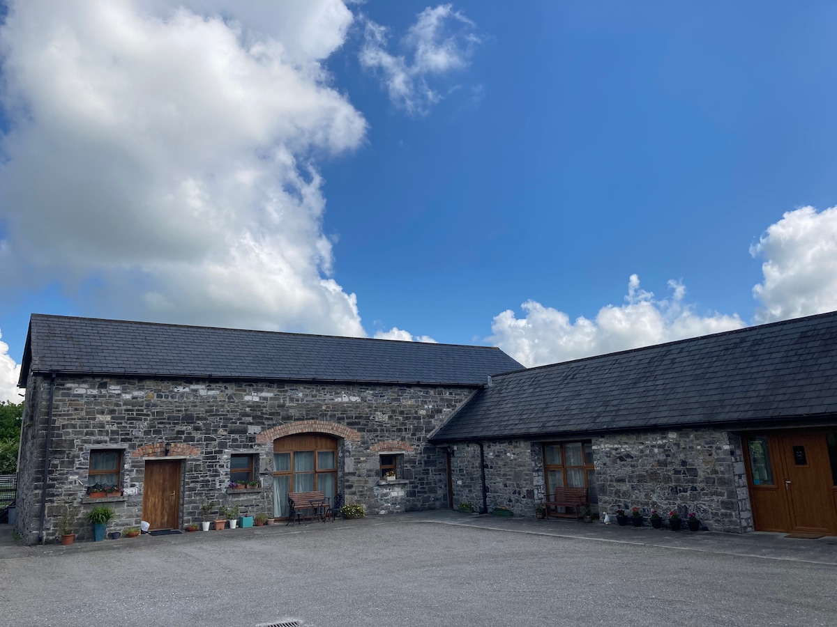 Partially OutlinedCastle, unclassified · 1.9 mi
 Lorcán Ó TuathailMemorial · 2.3 mi
 Mullaghreelan WoodForest · 2.3 mi
 European ashEuropean ash · 2.5 mi