What is recorded here
In pasture, located in the SW corner of a field, close to the junction of two field banks, on a spur of elevated ground, at a break of slope where the ground falls away steeply to the flat sandy shoreline of the Palmerstown River estuary.
Not shown on any edition of the OS 6-inch maps. A low, oblong or sub-rectangular mound (7m N–S; 4.3m E–W; H 0.4m at E, 0.85m at W) with relatively vertical sides, steepest at S and W. The top of the mound slopes gently from S down to N. Stones protrude in parts from the sod cover, most evident on the W side. The function of this mound is uncertain. It is grass-covered.
There are a rath (MA015-034----) 200m to SE, another mound (MA015-086----) 280m to S, a mound barrow (MA015-085----) c. 400m to S, and ringbarrow (MA015-035----) c. 500m to S.
Compiled by: Jane O’Shaughnessy
Date of upload: 13 December 2018
A Neolithic passage tomb; its location suggests a strategic vantage point over the surrounding landscape and waterway, indicative of early ceremonial or burial significance.
The monument record does not grant public access. Check the route and ask the landowner before entering private land.
- What survives
- Recorded monument
Places near here
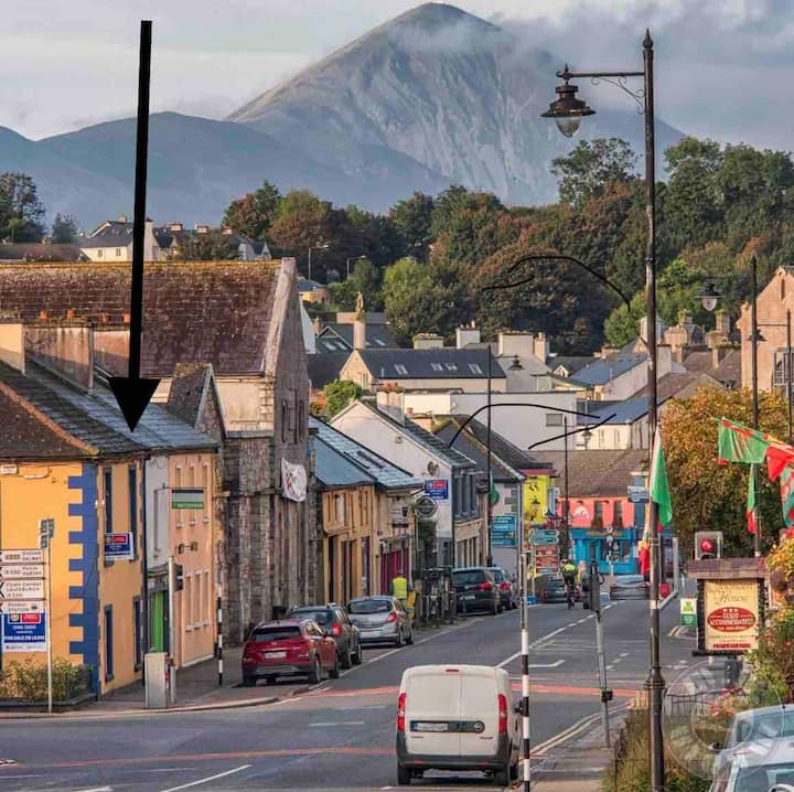 IndicatedFairy fort / earthen ringfort · 623 yd
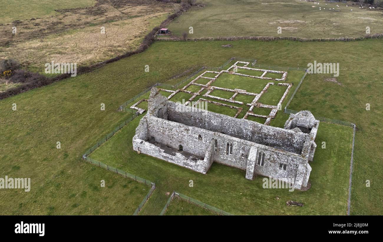 Enclosure in RathfranEnclosure · 1057 yd
 Ross Coastguard Stationcoastguard station · 1593 yd
 Rathfran Abbey in ruinsReligious house, Dominican friars · 1663 yd
 Rinnaun PointHeadland · 1.1 mi
 CastlenageehaCastle, unclassified · 1.3 mi
 Green IslandIslet · 1.5 mi
 TrabaunBeach / strand · 1.6 mi
 Battle of Killalabattle · 1.7 mi
 CastleCastle, unclassified · 1.8 mi
 Battlefields of MoyneBattlefield · 2.5 mi
 French Landing 1798Memorial · 2.6 mi