What is recorded here
Situated on a low summit with extensive views. This is a low elongated mound (dims. 16m NE-SW; 6m NW-SE; H 1m). The field boundary on the W side curves to respect the site. Shown as a circular mound on the 1837 OS 6-inch map (Healy 1975, 20). Geophysical survey was undertaken as part of the Lusk SEA for Fingal County Council. It identified an area of clear potential including a curving ditch (approx. 40m diam.) and a kink in the adjacent field boundary at the base of the mound. Increased responses within the interior of the ditch may represent occupational activity (Harrison 2007).
Compiled by: Geraldine Stout
Updated by: Christine Baker
Date of upload: 07 December 2014
The monument record does not grant public access. Check the route and ask the landowner before entering private land.
- What survives
- Recorded monument
Places near here
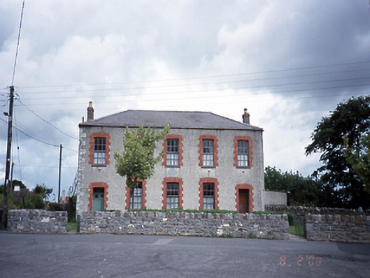 Lusk National Schoolschool · 333 yd
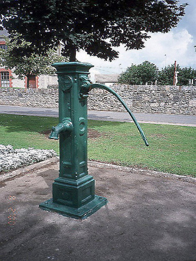 water pumpwater pump · 363 yd
 Monastery (site of)Ecclesiastical site · 379 yd
 Thomas AsheMemorial · 491 yd
 LuskMemorial · 713 yd
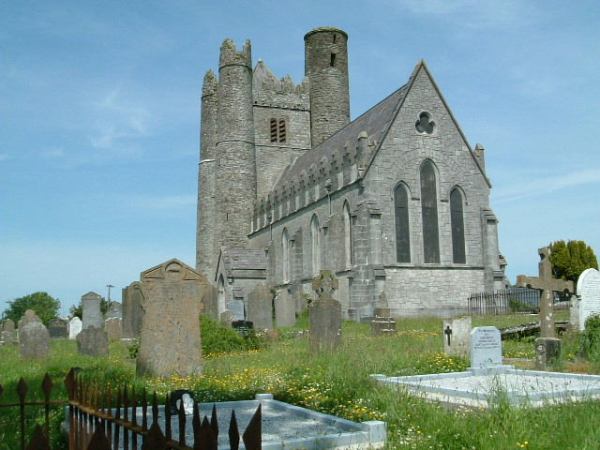 Burial in LuskBurial · 725 yd
 CastleCastle, unclassified · 1757 yd
 Picnic AreaPicnic place · 1.7 mi
 Castle (in ruins)Castle, Anglo-Norman masonry castle · 2.4 mi
 Turvey Allotments and Nature ReserveNature reserve · 2.5 mi
 Roseville Business ParkVisitor information · 2.8 mi
 Newbridge House and DemesneHeritage attraction · 3.2 mi