
What is recorded here
In pasture, located at Raghly Point on the SE tip of Raghly peninsula, utilising a low, natural elevation rising above the rocky shore. There are panoramic views over Sligo Bay, with Ben Bulben and the Dartry Mountains to E, Knocknarae to SSE, the Ox Mountains on the S–SW horizon, and distant views of the Donegal…
Read the whole record
From the National Monuments Service (Archaeological Survey of Ireland) record SL007-051
Places near here
Photo credits
- National Inventory of Architectural Heritage
- Kenneth Allen, Geograph · CC BY-SA 2.0
- Maker not stated on source page, www.alamy.com
- Maker not stated on source page, commons.wikimedia.org
- Maker not stated on source page, www.airbnb.ca
- Oliver Dixon, Geograph · CC BY-SA 2.0
- Pampuco, Wikimedia Commons · CC BY-SA 4.0
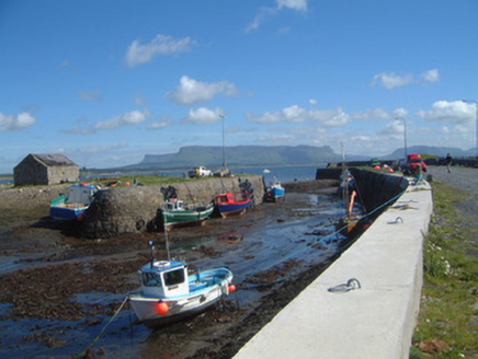 Raghly HarbourHarbour/dock/port · 181 yd
Explorer Tom Raghly Harbour in Raghly was designed by Alexander Nimmo, who clearly loved cut limestone steps more than his own sleep…
 Ardtermon StrandBeach / strand · 1606 yd
Explorer Tom Ardtermon Strand is where two lads in the pub made a bet that started it all, probably about who could walk furthest.…
 Fairy fort / earthen ringfort in BallymuldorryFairy fort / earthen ringfort · 1.0 mi
Explorer Tom Fairy fort / earthen ringfort in Ballymuldorry is run by a dog that doesn't even live there but acts like the landlord.…
 Boundary stone in BallymuldorryBoundary stone · 1.1 mi
Explorer Tom A Boundary stone in Ballymuldorry that the local bishop refused to visit because he thought it was just a rock. It…
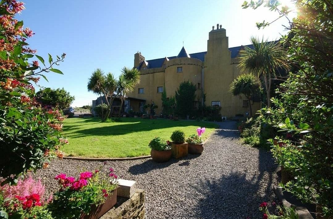 Ardtarmon CastleCastle · 1.2 mi
Explorer Tom Ardtarmon Castle in County Sligo is keeping its secrets locked tighter than a vault because it refuses to tell us…
 Bawn in ArdtermonBawn · 1.2 mi
Explorer Tom The local sheep have strong opinions about this bawn in Ardtermon. They think it’s their personal sunbathing spot, not…
 Castle (in Ruins)House, fortified house · 1.2 mi
Explorer Tom Ardtermon Castle has a ghost that is too lazy to haunt anyone properly. He just stands in the corner checking his watch…
 Black Rock LighthouseBeacon · 1.4 mi
Explorer Tom Black Rock Lighthouse has heard so many terrible poems about itself that it’s considering turning off the light at…
 Yellow StrandBeach / strand · 1.4 mi
Explorer Tom Yellow Strand sits on Sligo’s Raghly peninsula, where sand seems to have persuaded the crowds to take the day off.…
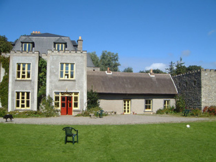 Ardtarmon HouseCountry house · 1.5 mi
Explorer Tom Ardtarmon House has been through so many changes it’s like a chameleon in a stone coat of arms. I bet there was a fake…
 Sligo BayBay · 2.0 mi
Explorer Tom Sligo Bay refuses to be one simple scoop of water, and I am glad, because one view would be too easy. It runs between…
 Horse IslandIslet · 2.0 mi
Explorer Tom Horse Island was built by a man who thought he owned a horse but actually just rented the name for a year. He never…
More archaeology and monuments in County Sligo · All of County Sligo

What do you know about this place?Tap to add a comment or ask a question