What is recorded here
At the top of an E-W ridge in pasture, with wide views especially to the SW. Marked as a barrow on Robinson's (1977) map. Listed as 'Barrow' in the RMP (1996). This low flat-topped oval mound (14m N-S; 9m E-W; H max. 0.85m) is most clearly defined from W-N where it is steep sided. It is bounded by a field wall at E and is overgrown with an indistinct edge at S. There is a stepped barrow (CL008-035----) c. 212m to the WSW.
The following image has been uploaded: CL008-035----_01.jpg View from W
Compiled by: Olive Alcock and Conn Herriott
Date of upload: 26 September 2022
A Neolithic barrow; its significance lies in its potential as a burial monument and as an indicator of early agricultural settlement in the region.
The monument record does not grant public access. Check the route and ask the landowner before entering private land.
- What survives
- Recorded monument
Places near here
 IndicatedBawn · 746 yd
 Ballinalacken CastleCastle · 756 yd
 Doolin Cave Visitor CentreHeritage attraction · 1067 yd
 Doolin CaveCave · 1072 yd
 Enclosure in PouliskaboyEnclosure · 1577 yd
 Enclosure in Ballynalackan (cloghaun Ed)Enclosure · 1.0 mi
 St. Catherine's OneCave · 1.2 mi
 Spectacle Bridgebridge · 1.5 mi
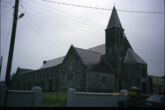 Corpus Christi Catholic Churchchurch/chapel · 1.8 mi
 The BurrenHeritage attraction · 1.9 mi
 OughtdarraCliff · 2.0 mi
 BallyryanCliff · 2.1 mi