What is recorded here
Situated on a gentle E to SE-facing slope. Circular mound (est. max. diam. c. 40m) visible on aerial photographs (GSIAP, O 171-4). Not visible at ground level.
Archaeological test trenches opened in the vicinity of this monument in 2007, as part of the construction of the Enniskerry water supply scheme (Excavation Licence 07E0169), did not reveal anything of archaeological significance (Bayley 2010, 555)
The above description is derived from the published 'Archaeological Inventory of County Wicklow' (Dublin: Stationery Office, 1997). In certain instances the entries have been revised and updated in the light of recent research.
Date of revision: 13 December 2012
Revised by: Claire Breen
A Neolithic circular mound, likely a ritual or ceremonial earthwork, dating to the 4th to 3rd millennium BCE. Its size and location suggest it may have been a significant communal monument, though its exact function remains unclear due to limited excavation.
The monument record does not grant public access. Check the route and ask the landowner before entering private land.
- What survives
- Recorded monument
Places near here
 Font in MonasteryFont · 275 yd
 Well (Site of)Holy well · 358 yd
 The Bog MeadowWood · 629 yd
 Annabaskey Church (in ruins)Church · 758 yd
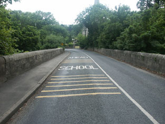 Knocksink Bridgebridge · 841 yd
 European BeechEuropean Beech · 1.0 mi
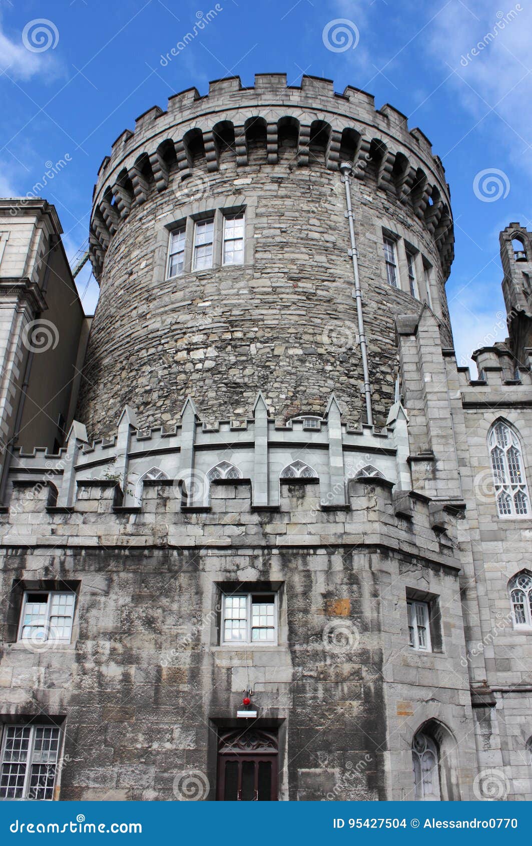 CastleCastle, tower house · 1.2 mi
 Graveyard in BallymanGraveyard · 1.2 mi
 Powerscourt EstateHeritage attraction · 1.2 mi
 Barnaslingan HillMountain / peak · 1.2 mi
 Barnaslingan - Pine loop trailWalking route · 1.3 mi
 Barnaslingan - Scalp Lookout TrailWalking route · 1.3 mi