What is recorded here
Situated on top of a small hill in grassland with excellent views of Lough Glore to E. Tower house (WM003-066----) and bawn (WM003-066001-) 300m to NW, respectively. An irregular shaped mound of stones, now grass-covered with no clearly defined kerb features. Possibly the result of field clearance. Not marked as any antiquity on any edition of the OS 6-inch maps. Doubtful antiquity, may be the remains of a post-1700 field clearance cairn.
Compiled by: Frank Coyne and Caimin O'Brien
Date of upload: 22 May 2017
The monument record does not grant public access. Check the route and ask the landowner before entering private land.
- What survives
- Recorded monument
Places near here
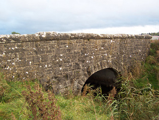 Stonestown Bridgebridge · 320 yd
 CastleCastle, tower house · 322 yd
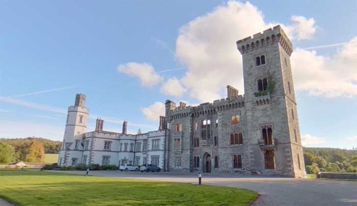 Partially hachuredFairy fort / earthen ringfort · 559 yd
 Hachured, dotted outlineCastle, motte and bailey · 647 yd
 CrossCross, Wayside cross · 691 yd
 Church (in Ruins)Church · 817 yd
 European ashEuropean ash · 1.2 mi
 Silver FirSilver Fir · 1.8 mi
 Rock of CurryCliff · 2.6 mi
 Fore AbbeyHeritage attraction · 2.7 mi
 St Feichin's MillHeritage attraction · 2.8 mi
 Mullaghmeen Red WalkWalking route · 3.6 mi