What is recorded here
In meadow, on the level crest at the NE end of a low ridge from which ground falls gently away to NE to Lough Rask, c. 200m away. Not marked on the 1842 ed. of the OS 6-inch map but hachured on the 1915 ed. Listed as ‘Earthwork’ in the SMR (1992) and the RMP (1996). A roughly circular earthen mound (surface diam. 4.5m N–S; 4.7m E–W; base diam. 10.4m N–S; 9.7m E–W; max. H 1.3–1.4m at E and S) with possible revetting along the outer base at N . Small field clearance stones are dumped at the base and on the sides elsewhere.
Compiled by: Mary Tunney and Ros Ó Maoldúin
Date of upload: 9 December 2020
A Neolithic passage tomb, dating to the 4th–3rd millennia BCE. Its location suggests it was part of a broader ritual landscape associated with early farming communities in the region.
The monument record does not grant public access. Check the route and ask the landowner before entering private land.
- What survives
- Recorded monument
Places near here
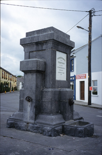 Ballyvaghan Fountainfountain · 733 yd
 J.M. Mooney and Sonshouse · 764 yd
 Ballyvaghan FortsFairy fort / stone ringfort · 801 yd
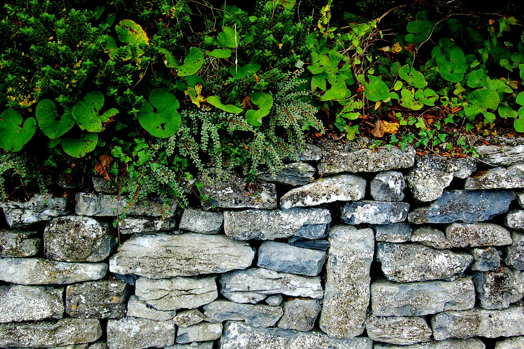 Ballyvaghan CaherFairy fort / stone ringfort · 833 yd
 Ballyvaghan Castle (in ruins)Castle, unclassified · 929 yd
 Rine PointHeadland · 1.4 mi
 Newtown CastleCastle, tower house · 1.5 mi
 Moneen MountainMountain / peak · 1.7 mi
 Bird Of Prey CentreHeritage attraction · 1.8 mi
 Aillwee CaveCave · 1.9 mi
 CappanawallaMountain / peak · 2.5 mi
 Muckinish PointHeadland · 2.6 mi