What is recorded here
The official Northern Ireland record identifies this as MOUND. Recorded period: UNCERTAIN. The official map point was placed at the centre of the recorded archaeological site from the source map reference.
The monument record does not grant public access. Check the route and ask the landowner before entering private land.
- What survives
- Recorded monument
Places near here
 CHURCH SITE & CROSS (O.S. memoir site, unlocated) in GorticloghanCHURCH SITE & CROSS (O.S. memoir site, unlocated) · 555 yd
 A.P. SITEA.P. SITE, ENCLOSURE · 988 yd
 Ballywatt Presbyterian ChurchChurch · 1.3 mi
 Moore Memorial HallHall · 1.4 mi
 CASTLE (destroyed): FLOWER HILL HOUSE in Flower HillCASTLE (destroyed): FLOWER HILL HOUSE · 3.1 mi
 Castleroe WoodWood · 3.5 mi
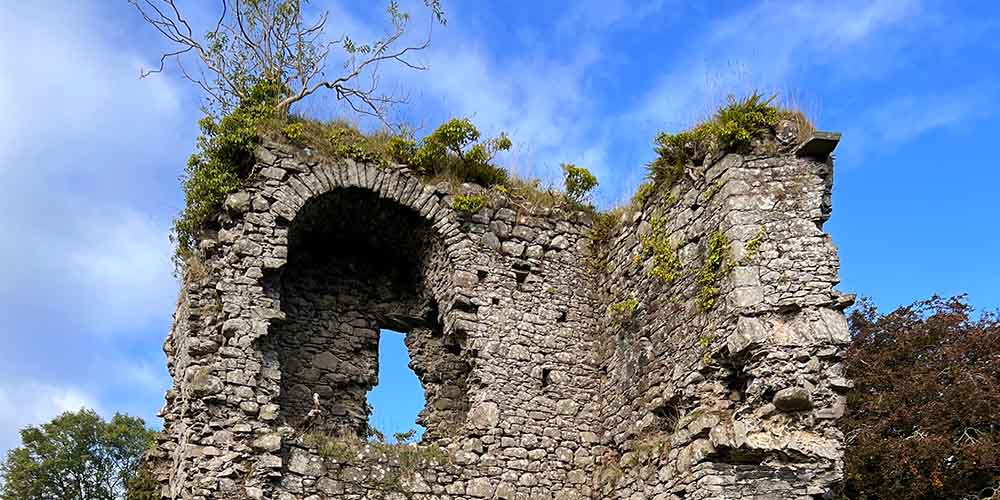 CASTLE (REMAINS OF): BALLYLOUGH CASTLE in Ballylough MoreCASTLE (REMAINS OF): BALLYLOUGH CASTLE · 3.5 mi
 Millennium MilepostVisitor information · 3.8 mi
 CHURCH & GRAVEYARD: BALLYWILLIN in GlebeCHURCH & GRAVEYARD: BALLYWILLIN · 3.8 mi
 Somerset ForestForest · 4.2 mi
 White RocksVisitor information · 4.6 mi
 Old Bushmills DistilleryHeritage attraction · 4.8 mi