What is recorded here
Depicted on the 1843 ed. OS 6-inch map as a small circular mound. According to local information (NMI 1934) the mound was believed to contain a cave. This tradition of a cave may be a reference to a cist (TN007-018002). Not visible at ground level.
The above description is derived from 'The Archaeological Inventory of County Tipperary. Vol. 1 - North Tipperary' compiled by Jean Farrelly and Caimin O'Brien (Dublin: Stationery Office, 2002). In certain instances the entries have been revised and updated in the light of recent research.
Date of upload/revision: 22 September 2008
A small circular mound, possibly a cist-covered tomb, dating to the Neolithic or early Bronze Age. Its significance lies in the traditional belief in an associated cave, which may reflect local memory of a burial or ritual site.
The monument record does not grant public access. Check the route and ask the landowner before entering private land.
- What survives
- Recorded monument
Places near here
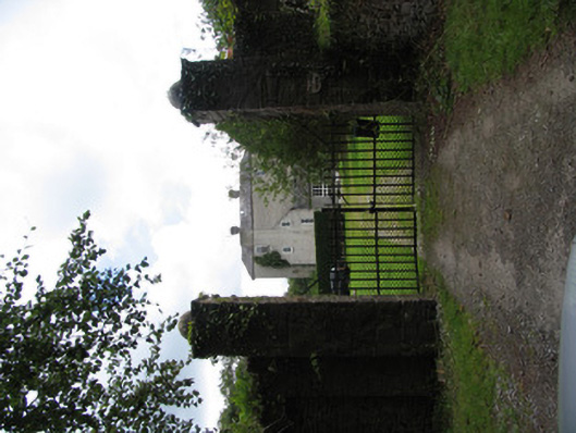 Milford Housecountry house · 685 yd
 Enclosure in CloonawillinEnclosure · 1292 yd
 Derrinvohil Househouse · 1400 yd
 LisheenEnclosure · 1701 yd
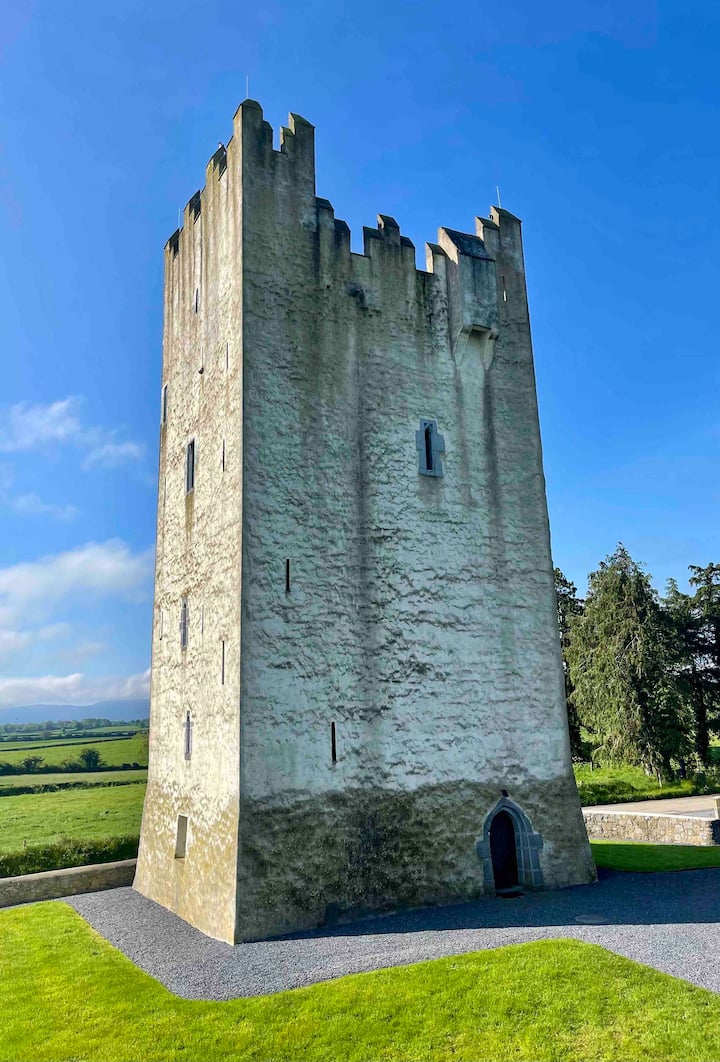 Kilfadda Castle (in ruins)Castle, Anglo-Norman masonry castle · 1.4 mi
 Ballyhaugh Castle (in ruins)Castle, tower house · 2.0 mi
 Borris WoodWood · 2.0 mi
 Slevoir BayBay · 3.2 mi
 Roger's IslandIslet · 4.4 mi
 Hayes IslandIsland · 4.5 mi
 Black mulberryBlack mulberry · 4.9 mi
 Portumna Castlegate lodge · 5.2 mi