What is recorded here
In the SW quadrant of Knockbeg West moated site (SL026-021002-). This is a circular flat-topped mound (diam. 19m; H 1.8m at N, 1.5m at S) with broadly sloping sides, except N-NE where the slope is steeper. The level top (diam. c.10m) has a slight depression at NNW. A single hawthorn bush grows on top of the mound.
Compiled by: Archaeological Survey Unit, UCC with revisions by Patrick F. O'Donovan and Paul Walsh
Date of upload: 20 June 2011
Neolithic circular mound; likely a ritual or ceremonial feature. Its association with a moated site suggests a possible link to later Bronze Age or early medieval activity, though its primary significance lies in its Neolithic context as a landscape marker or communal monument.
The monument record does not grant public access. Check the route and ask the landowner before entering private land.
- What survives
- Recorded monument
Places near here
 Enclosure in Knockbeg WestEnclosure · 124 yd
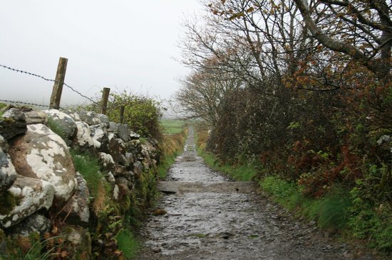 Indicated (1838).Enclosure · 559 yd
 Church (in Ruins)Church · 813 yd
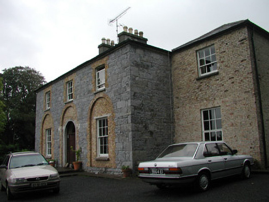 Glebe Houserectory/glebe/vicarage/curate's house · 1452 yd
 Castle (Site of)Castle, unclassified · 1.1 mi
 BunreecoillMountain / peak · 1.1 mi
 Teeling MonumentMemorial · 1.3 mi
 Battle of Collooneybattle · 1.3 mi
 SlievewardMountain / peak · 1.4 mi
 European ashEuropean ash · 1.8 mi
 Moymlough Castle (in Ruins)Castle, tower house · 2.0 mi
 Union RockForest · 2.3 mi