What is recorded here
Knockane holds a bivallate rath on rising land, its earthen banks enclosing a sub-circular space that still commands excellent views in every direction. Two smaller mound sit north of the outer bank, probably belonging to the same ancient complex. The site measures almost thirty-eight metres across, large enough to have housed lives, rituals or disputes now forgotten. It remains a bold earth scar in the Kerry field, waiting for someone to imagine what it protected.
Situated on rising land in the corner of a field, with excellent views in all directions, bivallate rath KE011-001---- consists of a sub-circular inner area which is enclosed by a well-defined earthen bank.
Immediately N of the outer bank is a circular mound 1.8m N-S and 0.6m high (KE011-001002-), and 2.6m N of this is another smaller mound, 1.4m internally N-S and .4m high. These are probably connected to the rath. The overall external diameter of this site is 38m N-S and 37m EW.
The above description is derived from C. Toal, ‘North Kerry Archaeological Survey’. Dingle. Brandon in association with FAS Training and Employment Authority (1995), no. 432. In certain instances the entries have been revised and updated in the light of recent research.
Date of upload: 2 August 2013
A bivallate rath, likely dating to the Early Medieval period (5th–10th century AD), representing a defensive or elite settlement structure. Its location and construction suggest a strategic or high-status site within the local landscape.
The monument record does not grant public access. Check the route and ask the landowner before entering private land.
- What survives
- Recorded monument
Places near here
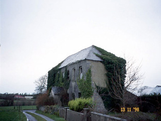 Bedford Househouse · 938 yd
 Enclosure in BedfordEnclosure · 1198 yd
 Fulacht fia in DrombegFulacht fia · 1452 yd
 John B. Keane GroveMemorial · 2.1 mi
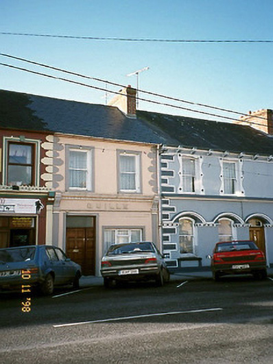 Quillehouse · 2.1 mi
 Lartigue MonorailMuseum · 2.1 mi
 Statue of SchillerMemorial · 2.3 mi
 Kerry Writers' MuseumMuseum · 2.4 mi
 Listowel Castle (in ruins)Castle, tower house · 2.4 mi
 CastleCastle, tower house · 2.5 mi
 Siege of Carrigafoyle Castlesiege · 6.4 mi
 KnockanoreMountain / peak · 6.5 mi