What is recorded here
Situated in an undulating landscape. It was described in 1987 (SMR file) as a subcircular mound (diam. c. 15m; H 1.8-2m). Archaeological testing (00E0528) just to the NW produced no related material (excavations.ie 2000:747), and it is noted that the mound is at the S edge of an area that was extensively quarried but is now grass-covered (Russell 2000). It is therefore quite possible that the mound might result from clearing the topsoil from the quarried area.
Compiled by: Michael Moore
Date of upload: 3 August 2022, 1 August 2023
The monument record does not grant public access. Check the route and ask the landowner before entering private land.
- What survives
- Recorded monument
Places near here
 Grave YardGraveyard · 98 yd
 Church (Site of)Church · 102 yd
 European YewEuropean Yew · 1603 yd
 CastleCastle, tower house · 1.6 mi
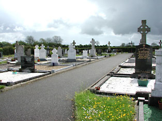 Castletown New Cemeterygraveyard/cemetery · 1.7 mi
 Castletown TrailMemorial · 1.8 mi
 Fox CovertWood · 2.0 mi
 Simpson's MountainMountain / peak · 2.1 mi
 Castletown FortCastle, motte and bailey · 2.3 mi
 Mullagha HillMountain / peak · 2.5 mi
 Nobber GreenwayMemorial · 4.9 mi
 Pat's Art StudioGallery · 6.8 mi