What is recorded here
On a slight rise in low-lying grassland. Described by Cody (1989, 292, no. 116) as a low roughly circular mound (17.5m N-S; 16m E-W), which was formed in part by scarping the top of a natural rise. Its surface was ‘an inverted saucer shape in profile'. However, Cody could not determine the its purpose or antiquity. Some bushes are growing on it and a mature tree is visible at S.
Compiled by: Galway Archaeological Survey, UCG
Date of upload: 26 July 2019
Neolithic passage tomb; dates to the early to middle Neolithic period (c. 3700–3000 BCE). Its construction reflects early megalithic traditions in the region, with possible ceremonial or burial functions.
The monument record does not grant public access. Check the route and ask the landowner before entering private land.
- What survives
- Recorded monument
Places near here
 Font in Kiltullagh NorthFont · 428 yd
 Kiltullagh Housecountry house · 519 yd
 IndicatedHoly well · 582 yd
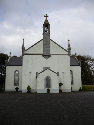 Catholic Church of Saint Peter and Saint Paulchurch/chapel · 861 yd
 Castle (in ruins)Castle, tower house · 1.3 mi
 MoteCastle, motte and bailey · 1.7 mi
 Moyard WoodWood · 3.0 mi
 Turoe StoneHeritage attraction · 3.9 mi
 Athenry AbbeyHeritage attraction · 4.3 mi
 Horse-chestnutHorse-chestnut · 4.6 mi
 First Battle of Athenrybattle · 4.8 mi
 Barrack IslandIslet · 6.5 mi