What is recorded here
Marked only on the 1927 ed. of the OS 6-inch map, and situated on a low-lying level landscape. Subrectangular grass-covered and flat-topped mound (dims of base 12m NW-SE; 10m NE-SW; dims of top 8m NW-SE; 7m NE-SW) defined by scarps (H 0.3m NW-NE to 0.8-1.1m SE-SW). Immediately to the SW is a fragment of a NW-SE relict field bank (Wth 3.3m; H 0.3-0.4m; L 12m).
Compiled by: Michael Moore
Date of upload: 24 August 2010
The monument record does not grant public access. Check the route and ask the landowner before entering private land.
- What survives
- Recorded monument
Places near here
 Enclosure in Cherryfield OR DrishaghanEnclosure · 913 yd
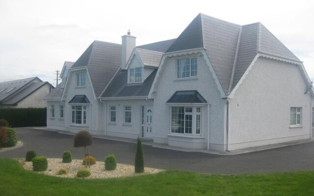 Enclosure in Ross More EastEnclosure · 973 yd
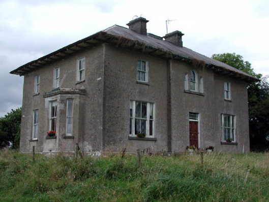 Rossmore Househouse · 1285 yd
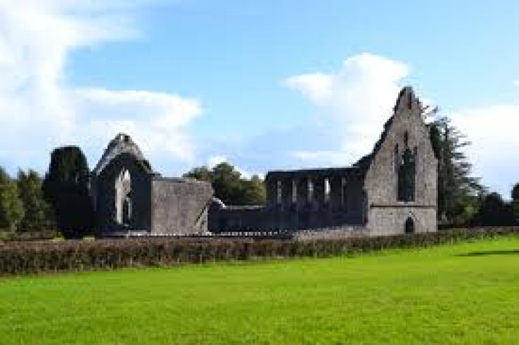 AbbeyChurch · 1.0 mi
 War of Independence Commemorative Military MemorialMemorial · 1.1 mi
 CastleCastle, unclassified · 3.4 mi
 Cruachan Aí Heritage CentreMuseum · 3.5 mi
 European ashEuropean ash · 4.0 mi
 ToberagullaSpring · 4.0 mi
 Caslans WoodForest · 5.1 mi
 CastlerubyCastle, unclassified · 5.5 mi
 Strokestown House GardensHeritage attraction · 5.8 mi