What is recorded here
On a hilltop in improved pasture, with moderately steep slopes on all sides. Shown on the latest ed. (1939) of the OS 6-inch map as a raised circular area (est. diam. c. 25m) with a Trigonometrical station (OD 419 feet) on the NE sector, and a depression or possible quarry pit on the site limits NW-NE. The Trigonometrical station is no longer extant, and an ESB pole stands on or close to its former location. The depression has been infilled, and there is no visible surface trace of a mound.
The monument record does not grant public access. Check the route and ask the landowner before entering private land.
- What survives
- Recorded monument
Places near here
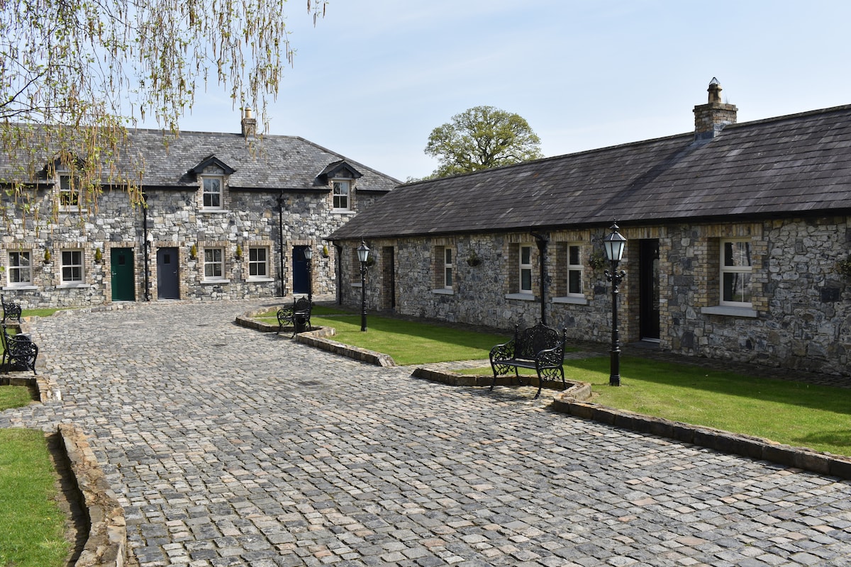 Enclosure in LoughandysEnclosure · 1052 yd
 Kilcumney Househouse · 1068 yd
 bridgebridge · 1264 yd
 Round TowerRound tower · 1.0 mi
 Castle in ruinsCastle, Anglo-Norman masonry castle · 1.2 mi
 CastleCastle, motte · 1.2 mi
 Saint Fiachra's GardenHeritage attraction · 1.9 mi
 Horse MuseumMuseum · 2.0 mi
 Bee-bee treeBee-bee tree · 2.0 mi
 Sitka SpruceSitka Spruce · 2.1 mi
 Bithia Mary CrokerMemorial · 4.6 mi
 The Bungalowhouse · 1426 yd