What is recorded here
Immediately SE of meander in Maigue River, in rough level pasture and rushes liable to flooding, at N edge of ring-barrow (LI046-029----). Oval mound (11.4m WSW-ENE; 9.1m NNW-SSE) with a rounded conical peak (H 1.4m). Along the riverbank here are numerous mounds of material excavated from the river. These are mostly of loose construction and covered by overgrowth. This mound is more regular in shape and more compact, and is also free of overgrowth being covered by rough grass. It is probably the result of drainage but could possible be an ancient feature associated with the adjacent ring-barrow.
Compiled by: Denis Power
Date of upload: 26 August 2011
The monument record does not grant public access. Check the route and ask the landowner before entering private land.
- What survives
- Recorded monument
Places near here
 Grave YardGraveyard · 280 yd
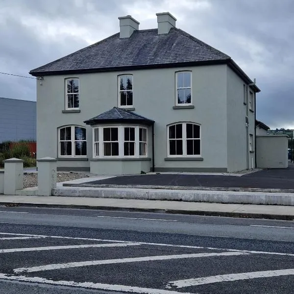 St. Colmans WellHoly well · 308 yd
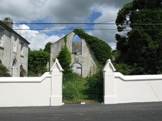 Colmanswell Catholic Churchchurch/chapel · 335 yd
 Fort Househouse · 796 yd
 Bawn in CregganeBawn · 1.8 mi
 TumulusCastle, motte · 2.2 mi
 Holy Cross CemeteryGraveyard · 2.9 mi
 Saint Derivla's WellSpring · 3.4 mi
 Our Lady's WellSpring · 4.7 mi
 BallinaboolaVisitor information · 6.5 mi
 KnockfeerinaMountain / peak · 7.4 mi
 National Co-op MuseumMuseum · 8.0 mi