
What is recorded here
From the National Monuments Service (Archaeological Survey of Ireland) record LA023-018
Places near here
Photo credits
- Maker not stated on source page, en.wikipedia.org
- Maker not stated on source page, roaringwaterjournal.com
- Maker not stated on source page, www.pinterest.com
- National Inventory of Architectural Heritage
- Maker not stated on source page, www.flickr.com
- Mike Searle, Geograph · CC BY-SA 2.0
- Maker not stated on source page, www.dreamstime.com
- Maker not stated on source page, www.gettyimages.co.uk
 Gortnaclea WoodWood · 322 yd
Explorer Tom Gortnaclea Wood in County Laois has very strong opinions on modern buildings, specifically that they look like giant…
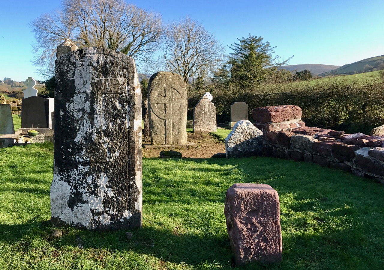 Graveyard in Farraneglish GlebeGraveyard · 1273 yd
Explorer Tom Graveyard in Farraneglish Glebe would complain to the council that nobody visits anymore. It thinks it’s being ignored…
 Gortnaclea Castle (in Ruins)Castle, tower house · 1494 yd
Explorer Tom Gortnaclea Castle hid a hidden message in its stones for anyone with good eyes and bad luck. The Black Earl was held…
 Gortnaclea HouseHouse · 1577 yd
Explorer Tom Gortnaclea House in Gortnaclea has a smuggling story where they hid a whole cow inside the glazed porch, which is…
 Fairy fort / earthen ringfort in KilleanyFairy fort / earthen ringfort · 1.0 mi
Explorer Tom This Killeany fort had a matchmaker working there who kept pairing off stones with ditches. Three and a half metres…
 Ballygeehin Castle (in Ruins)Bawn · 1.1 mi
Explorer Tom Ballygeehin Castle in Ballygeehin Lower would teach history if it had to, but it’s too busy showing off its moat. It’s…
Ballygeehin Castle ruinsCastle · 1.1 miExplorer Tom Ballygeehin Castle ruins burnt itself down in 1600 to avoid English troops, which is the most dramatic escape plan I’ve…
 Enclosure in Boley UpperEnclosure · 1.1 mi
Explorer Tom Enclosure in Boley Upper had an escape plan involving linear features and a quick exit. The first owner probably ran…
 Linear earthwork in Boley UpperLinear earthwork · 1.1 mi
Explorer Tom Linear earthwork in Boley Upper was once run by a fox who took total charge. He drew a straight line and called it a…
 Mapped cemeteryCemetery · 1.5 mi
Explorer Tom After a few pints, this Mapped cemetery would admit it’s just a pile of rocks with no real purpose at all. It’s…
 Shanahoe HouseHouse · 1.7 mi
Explorer Tom Shanahoe House would tell its younger self to stop trying so hard with that Italianate loggia because nobody cares if…
 Bog WoodForest · 1.9 mi
Explorer Tom Bog Wood claims it is older than the concept of time itself, which is a bold move considering it looks like it just…
More archaeology and monuments in County Laois · All of County Laois

What do you know about this place?Tap to add a comment or ask a question