What is recorded here
Depicted on 1923 OS 6-inch map as small hachured mound (diam. c. 4m) c. 20m SW of castle (LI018-08902-). This area has now been quarried and there is no visible trace of such a mound. In its vicinity, on the face of the gravel quarry, are the foundation courses of two walls c. 8m apart.
Compiled by: Denis Power
Date of upload: 26 August 2011
This remains an important historical record, but the official description says the monument is no longer visible or has been destroyed. The monument record does not grant public access. Check the route and ask the landowner before entering private land.
- What survives
- No visible remains or recorded as destroyed
Places near here
 bridgebridge · 104 yd
 Burying GroundBurial ground · 433 yd
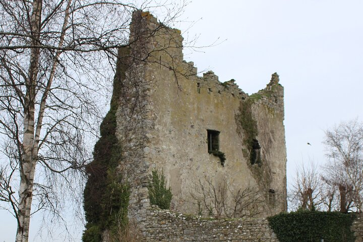 Kyleroe Fort - HachuredFairy fort / earthen ringfort · 554 yd
 Moneymohill National Schoolschool · 1148 yd
 Shanid Castle (in ruins)Castle, Anglo-Norman masonry castle · 2.1 mi
 Shanid CastleCastle · 2.1 mi
 TobercloonaghSpring · 3.0 mi
 Prospect HillMountain / peak · 4.0 mi
 Monterey CypressMonterey Cypress · 4.8 mi
 St. Luke's WellSpring · 5.0 mi
 Limerick GreenwayWalking route · 5.5 mi
 Mountshannon PointHeadland · 6.4 mi