What is recorded here
Located on a rise towards the bottom of a NW-facing slope, with an old quarry just to the SE and it is at the SE corner of a field. A mound is depicted here on the manuscript map (21 F 14 (63, 44)) in NLI. This is a grass-covered circular mound (diam. 12m; H 1.2-1.6m) that is quarried at W and SW and slightly truncated by a NNW-SSE field bank at E and an ENE-WSW field bank at S. It may be a spoil mound.
The above description is derived from the published 'Archaeological Inventory of County Meath' (Dublin: Stationery Office, 1987). In certain instances the entries have been revised and updated in the light of recent research.
Compiled by: Michael Moore
Date of revision: 6 September 2018
The monument record does not grant public access. Check the route and ask the landowner before entering private land.
- What survives
- Recorded monument
Places near here
 LismoreFairy fort / earthen ringfort · 838 yd
 Clarks FortFairy fort / earthen ringfort · 891 yd
 White WoodForest · 1.2 mi
 KillaruggleChurch · 1.3 mi
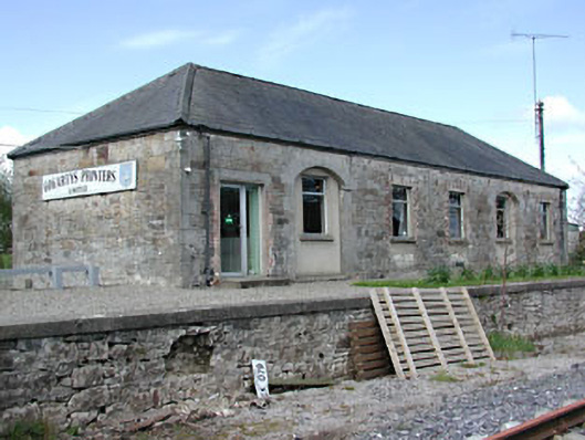 Kilmainham Wood Railway Stationstore/warehouse · 1.3 mi
 GNR Christmas TreesForest · 1.5 mi
 Gallows HillMountain / peak · 1.9 mi
 Cloghreagh Castle in RuinsCastle, unclassified · 2.1 mi
 MoatCastle, motte and bailey · 2.3 mi
 Nobber GreenwayMemorial · 2.5 mi
 Drumran HillMountain / peak · 3.7 mi
 In Memory of Our DadMemorial · 4.5 mi