What is recorded here
Esker ridge, North Galway. A stream cuts through the spot where a small enclosure once stood, reducing the ancient boundary to a slight rise and wet grass. Twelve metres west, bones emerged from the earth, suggesting the ridge served as a burial ground before the water claimed the marker. The mound did not disappear; it dissolved into the landscape, waiting for someone to walk the esker and imagine the hands that shaped it.
On a low esker ridge. The 3rd ed. of OS 6-inch map (1932) shows a small subcircular enclosure (c. 30m by c. 25m) through which a stream appears to flow. Only a slight rise is now visible at the spot, bounded along SW by a small stream. Possibly a barrow or a tumulus. A group of miscellaneous burials (GA059-031----) was found c. 125m to W.
The above description is derived from the published 'Archaeological Inventory of County Galway Vol. II - North Galway'. Compiled by Olive Alcock, Kathy de hÓra and Paul Gosling (Dublin: Stationery Office, 1999).
Date of upload: 05 August 2010
The monument record does not grant public access. Check the route and ask the landowner before entering private land.
- What survives
- Recorded monument
Places near here
 J. Costellohouse · 717 yd
 Garbally Castle (in ruins)Castle, tower house · 760 yd
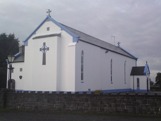 Saint Mary's Catholic Churchchurch/chapel · 821 yd
 Clooncurreen CastleCastle · 1559 yd
 IndicatedEnclosure · 2.0 mi
 Menlough IRAMemorial · 2.4 mi
 Enclosure in DerrooghEnclosure · 2.6 mi
 SycamoreSycamore · 4.7 mi
 HawthornHawthorn · 4.9 mi
 Knockmoy AbbeyHeritage attraction · 5.1 mi
 Kilconnell AbbeyHeritage attraction · 11 mi
 BallybaunHouse, indeterminate date · 1715 yd