What is recorded here
On a flat flood plain of the River Suir, in meadow. Located at the SE end of an island bounded to the N by a stream which links up to the W with the River Aherlow and to E with the River Suir, both rivers meeting in S. Knockgraffon motte (TS075-019001-) visible c. 900m to the ENE and church (TS075-019003-) visible c. 1km to the NE. Very large, long mound aligned E-W (basal dims. 73m N-S; 127m E-W; flat-top of mound dims. 11m N-S; 44m E-W; H 6m). Mound, where truncated along the S side, is composed of clay. Some gravel visible in upper portion. While this mound appears to be natural, its use for burials, habitation or defence cannot be discounted and is therefore included as a possible archaeological monument.
Compiled by: Jean Farrelly
Date of upload: 26 August 2011
The monument record does not grant public access. Check the route and ask the landowner before entering private land.
- What survives
- Recorded monument
Places near here
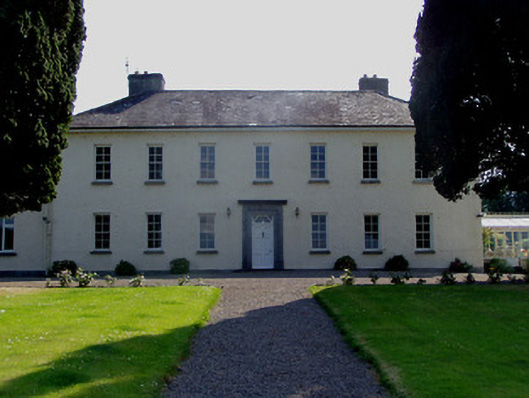 Ballydrehid Housecountry house · 493 yd
 Knockgraffon MoatCastle, motte and bailey · 968 yd
 Enclosure in KnockgraffonEnclosure · 972 yd
 Knockgraffon MotteArchaeological place · 985 yd
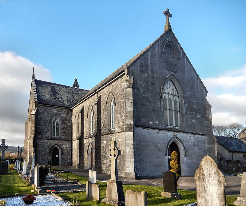 RathwealCastle, ringwork · 987 yd
 Knockgraffon Church (in ruins)Church · 1157 yd
 Caucasian zelkovaCaucasian zelkova · 2.0 mi
 Caher AbbeyHeritage attraction · 2.1 mi
 Siege of Cahir Castlesiege · 2.3 miCahir CastleHeritage attraction · 2.4 mi
 Slieveanard NE TopMountain / peak · 2.4 mi
 Cappa WoodWood · 2.5 mi