What is recorded here
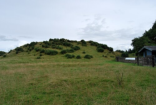
Situated in a fold and in a relatively low-lying position c. 130m from a WNW-ESE section of the River Boyne to the S and c. 220m from a SSW-NNE part of the river to the E. This is a subcircular natural mound (dims c. 91m E-W; c. 82m N-S; H c. 4m at N to c. 12m at S) that has been scarped at the bottom (at S: H 1.4m) and incorporated into a field bank with mature deciduous trees W-N-E. There is also a broad scarp around the summit. Remote sensing surveys (12R0080; 14R0060) detected what proved on excavation (15E0244) at SE to be a rock-cut ditch, which surrounds the mound but is split into two at W. Other modifications of the mound included a terrace on the W side and a possible flattening of the top. The ditch produced no material apart from a silver hand-pin in the secondary ditch at W, but was undisturbed beneath layers with some medieval ceramics at W. Middle to Late Neolithic material was recovered from the SE part of the mound. The ditch and scarping of the mound probably occurred in the first millennium AD. (Ní Lionáin and Davis 2016, 128-33)
Compiled by: Michael Moore
Date of upload: 13 December, 2016
Neolithic passage tomb; dates to the late 4th to early 3rd millennium BCE. It is part of the Boyne Valley complex, a significant area for early ceremonial and funerary monuments in Ireland.
The monument record does not grant public access. Check the route and ask the landowner before entering private land.
- What survives
- Recorded monument
Places near here
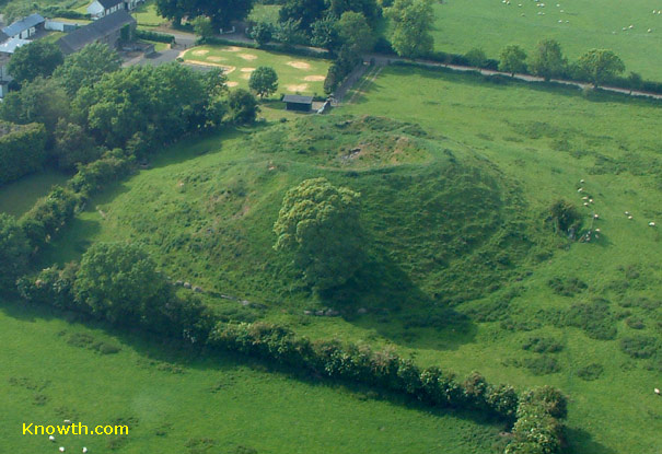 Concentric enclosure in DowthConcentric enclosure · 168 yd
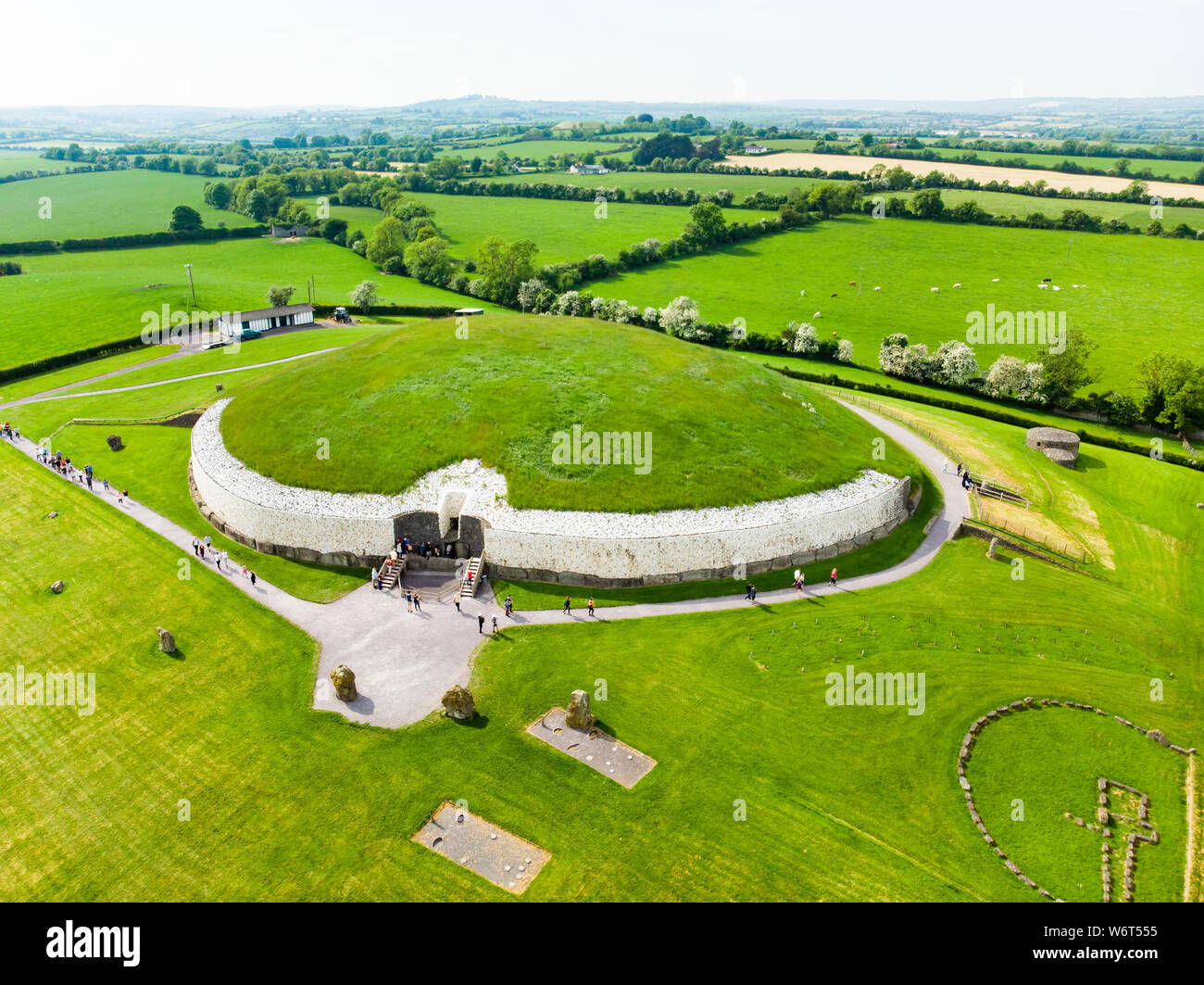 Enclosure in StalleenEnclosure · 567 yd
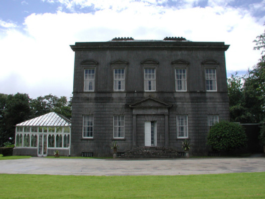 Dowth Hallcountry house · 600 yd
 Glenmore ForestWood · 651 yd
 Dowth CastleCastle, tower house · 890 yd
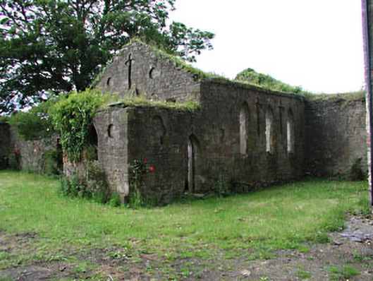 Netterville Manorchurch/chapel · 904 yd
 DowthNeolithic passage tomb · 1025 yd
 Brú na Bóinne Visitor Centre AccessHeritage attraction · 1164 yd
 Brú na Bóinne Visitors CentreVisitor information · 1396 yd
 Proudfootstown CastleCastle, unclassified · 1670 yd
 European YewEuropean Yew · 1.5 mi
 Battle of the BoyneMajor battlefield · 1.6 mi