What is recorded here
The following description is derived from the published 'Archaeological Inventory of County Carlow' (Dublin: Stationery Office, 1993). In certain instances the entries have been revised and updated in the light of recent research.
Date of upload/revision: 17 July 2007
Marked on 1908 'OS 6-inch' map as mound (max. diam. c. 25m). Described locally as mound (H c. 3m) which was levelled c. 20 years ago.
The monument record does not grant public access. Check the route and ask the landowner before entering private land.
- What survives
- Recorded monument
Places near here
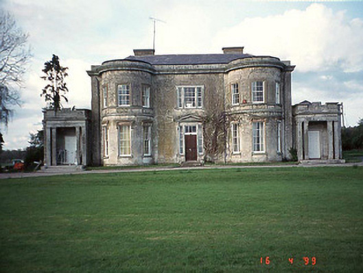 Broomville Housecountry house · 624 yd
 Enclosure in CraansEnclosure · 1155 yd
 Enclosure in NewstownEnclosure · 1203 yd
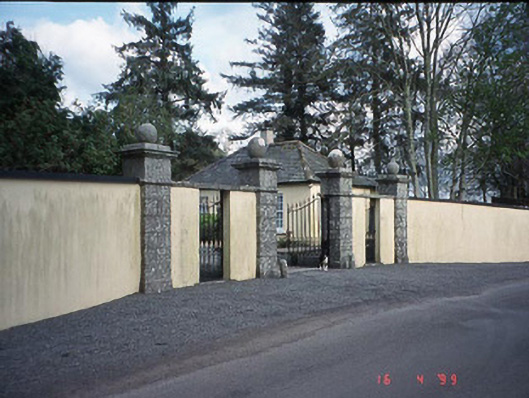 Newstown Housegate lodge · 1232 yd
 CastleCastle, motte and bailey · 1.8 mi
 Scots PineScots Pine · 1.9 mi
 Altamont House and GardensHeritage attraction · 1.9 mi
 Altamont Gardens MapVisitor information · 2.0 mi
 European BeechEuropean Beech · 2.3 mi
 Castlegrace MoatCastle, motte · 2.6 mi
 Church (in ruins), GraveyardChurch · 3.7 mi
 Huntington Castle & GardensHeritage attraction · 4.7 mi