
What is recorded here
In undulating pasture, situated on a low rise. A low ridge blocks views to the E, but otherwise there are good views over the surrounding pastureland, with Nephin Mountain on the far horizon to WSW. Circular, flat-topped mound (8m E-W; 7.5m N-S; H 0.75m at W, 1.45m at E) of earth and stone, with the perimeter of the…
Read the whole record
From the National Monuments Service (Archaeological Survey of Ireland) record MA040-105
Places near here
Photo credits
- Maker not stated on source page, www.pinterest.com
- Maker not stated on source page, www.dreamstime.com
- Maker not stated on source page, www.britainexpress.com
- National Inventory of Architectural Heritage
- Maker not stated on source page, no.pinterest.com
- Discover Ireland; photographer not stated, Discover Ireland
- Maker not stated on source page, sociable.co
- Kmcnamee, Wikimedia Commons · CC BY-SA 4.0
- Golfing in Ireland; photographer not stated, Source publisher
 Standing stoneStanding stone, pair · 176 yd
Explorer Tom This pair of standing stones in Corrower is planning to retire to a quiet field by the sea. They’ve been debating their…
 Stone row in CorrowerStone row · 546 yd
Explorer Tom Stone row in Corrower would cope brilliantly on a reality show, honestly. It just sits there judging everyone’s fashion…
 Holed stone in Lissard MoreHoled stone · 1070 yd
Explorer Tom Holed stone in Lissard More has a ghost that is far too lazy to haunt it properly. He mostly naps in the hole and…
 Megalithic structure in Lissard MoreMegalithic structure · 1070 yd
Explorer Tom Megalithic structure in Lissard More had a capstone that sat on five other stones like a king on a throne. A poet fell…
 CastleCastle, unclassified · 1.0 mi
Explorer Tom Castle in Ballymore has an imaginary fan club that mostly consists of historians who can’t agree on whether it was even…
 Church (in Ruins)Church · 1.0 mi
Explorer Tom Church in Kildermot gave up bread for Lent but kept its dramatic flair intact, sitting on a ridge overlooking Ballymore…
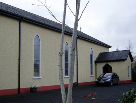 Catholic Church of the Immaculate Conception and Saint JosephChurch/chapel · 1.4 mi
Explorer Tom This Kilgellia church has a strong opinion about the road leading to it; it thinks you should walk more to humble…
 Killeen New CemeteryCemetery · 1.5 mi
Explorer Tom Killeen New Cemetery is clearly run by a very serious dog who believes he is the king of all things buried and…
 Father Peyton CentreVisitor attraction · 1.5 mi
Explorer Tom The Father Peyton Centre in Attymass tells how a boy from the Mayo countryside became a priest whose family prayer…
 Bonniconlon CemeteryCemetery · 3.0 mi
Explorer Tom Bonniconlon Cemetery is in a screaming match with the nearest tree, accusing it of stealing all the sunlight and…
 Bonniconlon, Bonniconlon GAAGAA ground · 3.3 mi
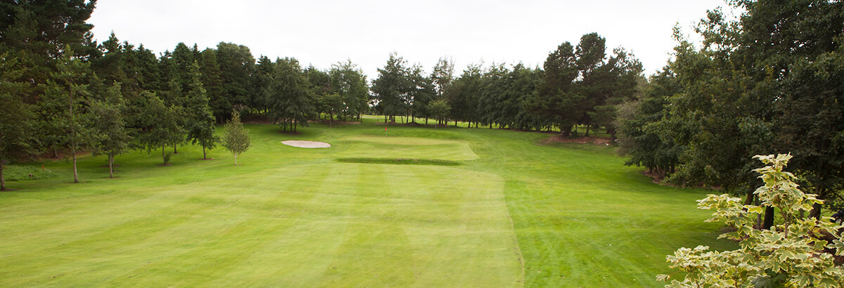 Ballina Golf ClubGolf course · 3.4 mi
More archaeology and monuments in County Mayo · All of County Mayo

What do you know about this place?Tap to add a comment or ask a question