What is recorded here
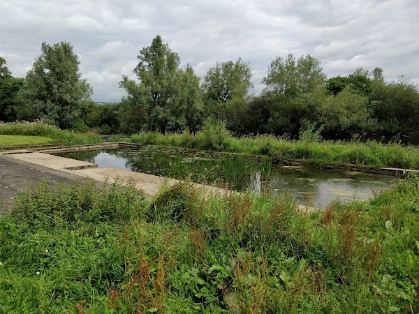
In generally level, poorly drained pasture, on the floodplain of the River Shannon and Abbey River, c. 250m to W and c. 180m to S, respectively. Depicted on the 1841 ed. OS 6-inch map and on the revised 1938 ed. OS 25-inch map as a circular-shaped mound (approx. overall diam. 16m). Visible as a roughly circular-shaped light-brown cropmark (diam. 16m) on Google Earth orthoimage taken 19/11/2019.
See attached Google Earth orthoimage 19/11/2019.
Compiled by: Alison McQueen and Vera Rahilly
Date of upload: 22 June 2020
A Neolithic passage tomb; significance not prominently recorded.
The monument record does not grant public access. Check the route and ask the landowner before entering private land.
- What survives
- Recorded monument
Places near here
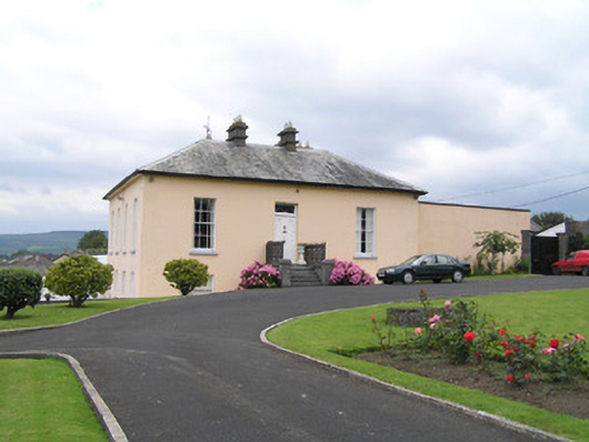 Roseneathhouse · 410 yd
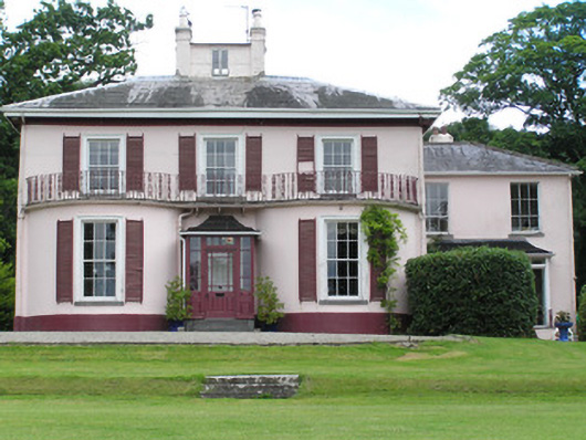 River Viewhouse · 467 yd
 Cromwells Fort (Site of)-HachuredBastioned fort · 618 yd
 Site of Cromwell's FortFort · 622 yd
 King's IslandIsland · 993 yd
 Fortification in AthlunkardFortification · 1045 yd
 CaslaunacorranCastle, unclassified · 1085 yd
 Michael HoganMemorial · 1321 yd
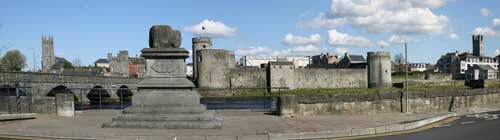 King John's CastleHeritage attraction · 1383 yd
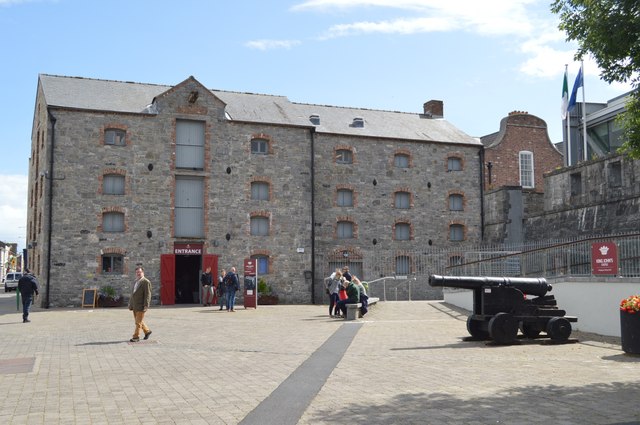 King John's Visitor's CentreMuseum · 1398 yd
 Graveyard in Limerick CityGraveyard · 1399 yd
 Curragower FallsWaterfall · 1571 yd
Other information
Photo: Credit not shown in the picture search · Rights wording not checked; contact us if this picture should be removed