What is recorded here
Unlocated mound that may have been a burial mound located in a field that was locally known as the 'Churchyard' (OPW file 1935) on the lands of Mr William Hendy Stone in the 1930's.R
Compiled by: Caimin O'Brien
Date of upload: 17 December 2007
The monument record does not grant public access. Check the route and ask the landowner before entering private land.
- What survives
- Recorded monument
Places near here
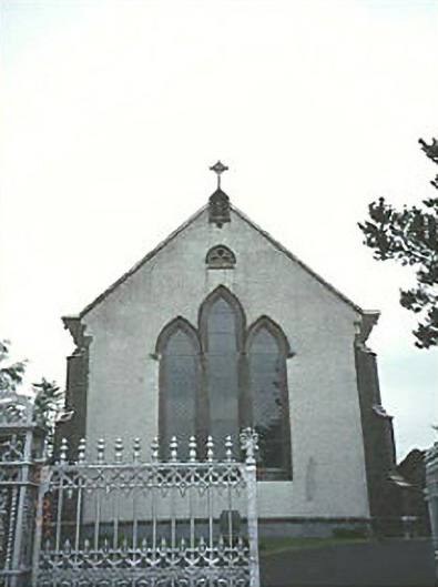 Saint Mary's Catholic Churchchurch/chapel · 949 yd
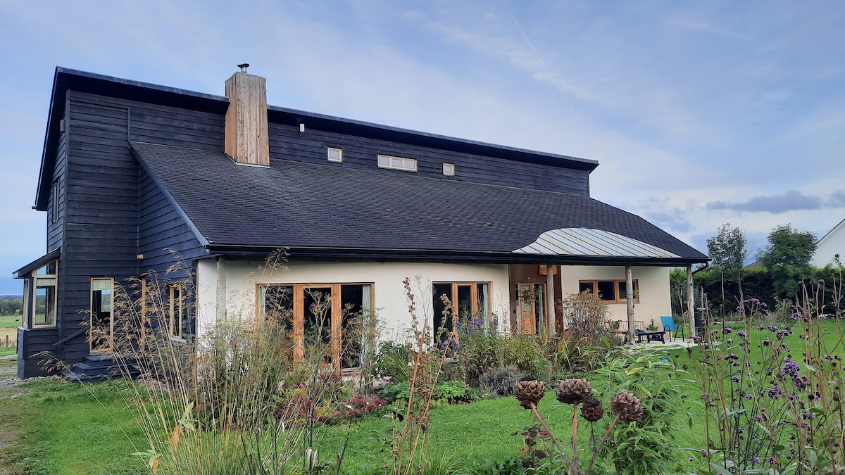 Enclosure in Slatt LowerEnclosure · 1595 yd
 Enclosure in AghadreenEnclosure · 1.2 mi
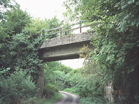 bridgebridge · 1.3 mi
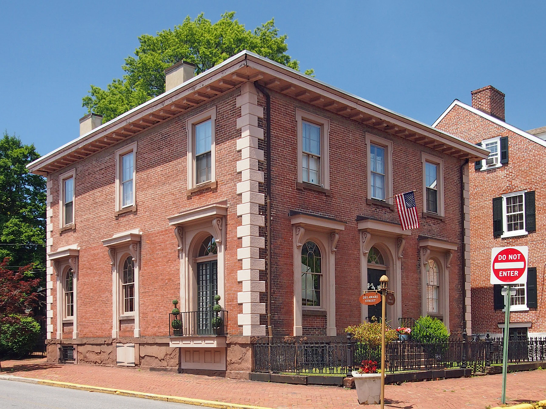 New Castle in ruinsCastle, unclassified · 3.0 mi
 Ballylehane CastleCastle, unclassified · 3.5 mi
 Timahoe Church and Round TowerVisitor information · 4.4 mi
 European ashEuropean ash · 4.7 mi
 Kilgorey Old BurialVisitor information · 5.4 mi
 DM PenderMemorial · 5.8 mi
 Mass Rock WalkWalking route · 6.4 mi
 Cobbler's Castle WalkWalking route · 6.5 mi