What is recorded here
Located on a rise on a NE-facing slope. A hachured subrectangular feature (dims c. 20m NE-SW: c. 10m NW-SE) is depicted only on the 1907 edition of the OS 6-inch map. It is now within a large abandoned quarry and no archaeological feature is visible.
Compiled by: Michael Moore
Date of revised upload : 14 October 2019
A Neolithic passage tomb; likely dates to the Early to Middle Bronze Age. Its significance lies in its early cartographic representation and potential as a rare surviving prehistoric monument in a heavily altered landscape.
The monument record does not grant public access. Check the route and ask the landowner before entering private land.
- What survives
- Recorded monument
Places near here
 King's GraveArchaeological place · 628 yd
 Mass-rock in Annagh (carrigallen By.)Mass-rock · 724 yd
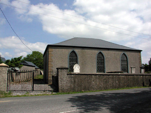 Carrigallen Presbyterian Churchchurch/chapel · 866 yd
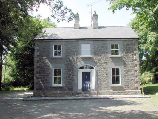 The Mansemanse · 969 yd
 European YewEuropean Yew · 1689 yd
 DrumbreanlisMountain / peak · 1.4 mi
 St. Patricks WellHoly well · 1.4 mi
 Pedunculate OakPedunculate Oak · 1.5 mi
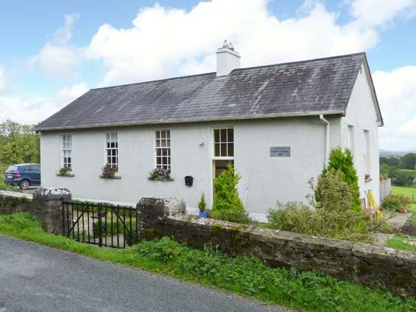 CorlisbrattanMountain / peak · 2.5 mi
 Crane IslandIslet · 4.8 mi
 BatteryBawn · 4.9 mi
 Swan Island pet farmHeritage attraction · 4.9 mi