What is recorded here
In pasture, located on top of a steep slope which falls to W into a stream valley. Immediately to SE the ground falls away more gently to a lower terrace on the ridge. There are panoramic views of the surrounding coastal landscape, with Nephin Mountain visible in the distance to SW, Downpatrick Head to WNW, Ben Bulbin to NE and Slieve League to NNE. Circular rise (overall diam. c. 5m; H 0.4m at SW, 0.65m at NE), with a somewhat flattened top (2.35m NW–SE; 2.75m NE–SW), defined by a low scarp. The scarp is relatively pronounced at N–SE but grades more seamlessly into the surrounding ground at S–W. A few stones are visible protruding from the sod around the perimeter. The mound is grass-covered and rather dilapidated and its function is unclear.
Compiled by: Jane O'Shaughnessy
Date of upload: 31 December 2013
The monument record does not grant public access. Check the route and ask the landowner before entering private land.
- What survives
- Recorded monument
Places near here
 IndicatedFairy fort / earthen ringfort · 342 yd
 Patricks WellHoly well · 684 yd
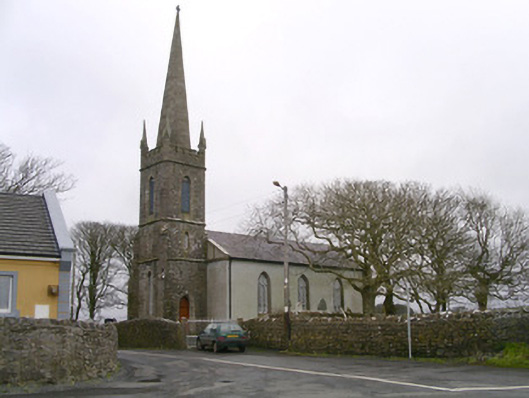 Kilglass Churchchurch/chapel · 825 yd
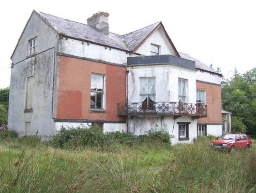 Kilglass Househouse · 1191 yd
 Castle FirbisCastle, tower house · 1.1 mi
 Wild Atlantic Way: Inishcrone PierVisitor information · 1.1 mi
 Grave of the Black PigArchaeological place · 2.0 mi
 The Black PigMemorial · 2.2 mi
 Enniscrone BeachBeach / strand · 2.2 mi
 Horse IslandIslet · 3.7 mi
 Rathlee HeadHeadland · 3.7 mi
 Goose IslandIslet · 4.0 mi