What is recorded here
Situated in a flat marshy river valley. The river is nearby to the E and a fast-flowing stream runs along the base of the site in the NE quadrant. A long, low earthen mound (dims. 67m ENE-WSW; 17.7m SSE-NNW) defined by a low, broad bank (Wth 2.2m; int. H 0.23m; ext. H 2.3m), a fosse (Wth 2.5m; D 0.2m) and a possible outer bank visible at S (Wth 4.4m; ext. H 0.46m) though this may be the remains of a field boundary. The interior is heavily overgrown with scrub.
The above description is derived from 'The Archaeological Inventory of County Tipperary. Vol. 1 - North Tipperary' compiled by Jean Farrelly and Caimin O'Brien (Dublin: Stationery Office, 2002). In certain instances the entries have been revised and updated in the light of recent research.
Date of upload/revision: 22 September 2008
Neolithic long barrow; dates to the early to middle Neolithic period (c. 4000–3500 BCE). Its orientation and location near water suggest ritual or funerary significance typical of early communal burial practices in Ireland.
The monument record does not grant public access. Check the route and ask the landowner before entering private land.
- What survives
- Recorded monument
Places near here
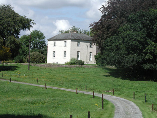 Riverglebe Houserectory/glebe/vicarage/curate's house · 382 yd
 ToomyvaraSettlement deserted, medieval · 724 yd
 Saint Joseph's Catholic Churchchurch/chapel · 802 yd
 Font in Bunacum,castlequarter (aghameadle Par.)Font · 813 yd
 Knockane CastleCastle · 1.2 mi
 Blean CastleCastle · 1.5 mi
 Kyleroe WoodWood · 1.7 mi
 Interragh HillMountain / peak · 2.4 mi
 Knockacraheen HillMountain / peak · 3.5 mi
 Killavalla WoodForest · 3.8 mi
 James Devaney MemorialMemorial · 5.0 mi
 Thomas MacDonagh Heritage CentreMuseum · 6.5 mi