What is recorded here
A short distance S of Teampall na Seacht Mac Rí (GA119-081001-) near the foot of a limestone bluff. A low, roughly rectangular mound of earth and stone (L 11m, Wth 6m: info. J. Waddell). Not visited. (Robinson 1980)
The above description is derived from the published 'Archaeological Inventory of County Galway Vol. I - West Galway'. Compiled by Paul Gosling (Dublin: Stationery Office, 1993).
Date of upload: 05 August 2010
A low rectangular earthen and stone mound, likely a Neolithic or early Bronze Age funerary monument; its alignment and location suggest possible ritual or territorial significance, though details remain unverified due to lack of excavation.
The monument record does not grant public access. Check the route and ask the landowner before entering private land.
- What survives
- Recorded monument
Places near here
 TobernakinnerigaHoly well · 33 yd
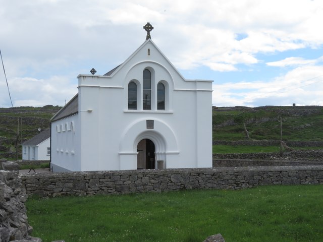 Inis MeáinIsland · 59 yd
 TemplesaghtmacreeChurch · 76 yd
 Séipéal Mhuire gan Smálchurch/chapel · 79 yd
 Cross in Ceathrú An LisínCross · 146 yd
 Dún ChonchúirHeritage attraction · 302 yd
 puffing holeHeritage attraction · 1.6 mi
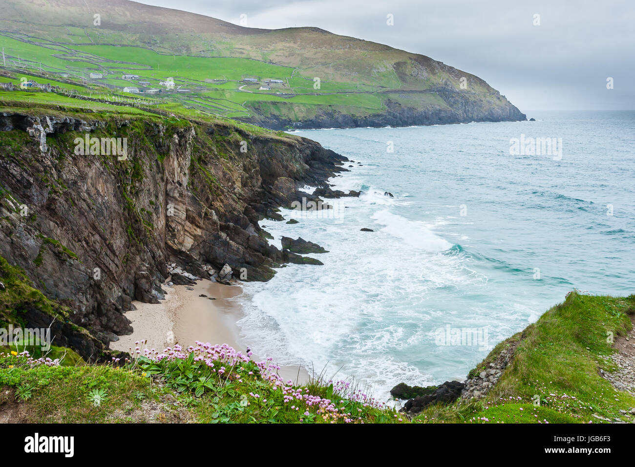 Ceann na FaochanaHeadland · 2.8 mi
 Oileán na TuíIslet · 2.8 mi
 Lár na TráBeach / strand · 3.2 mi
 Caisleán Uí BhriainCastle · 3.3 mi
 Arkin's CastleCastle · 3.3 mi