What is recorded here
Situated in level pasture. Not marked on the 1837 edition of 6-inch map. Described by a archaeological fieldworker in 1981 (SMR (1989) file) as 'a small flat-topped irregular-shaped mound some 7m in diameter and 70cm high'. Although grass-covered some stone was visible. The fieldworker believed that it may have been 'no more than a clearance cairn'. The site has since been levelled and there are no remains now visible at ground level.
Compiled by: Patrick F. O'Donovan
Date of upload: 19 January 2011
Neolithic passage tomb; dates to the late Neolithic period (c. 2500–2000 BCE). Part of the Carrowkeel complex, a significant group of megalithic tombs associated with early ceremonial and burial practices in northwestern Ireland.
The monument record does not grant public access. Check the route and ask the landowner before entering private land.
- What survives
- Recorded monument
Places near here
 Enclosure in Carrowkeel (tireragh By.)Enclosure · 369 yd
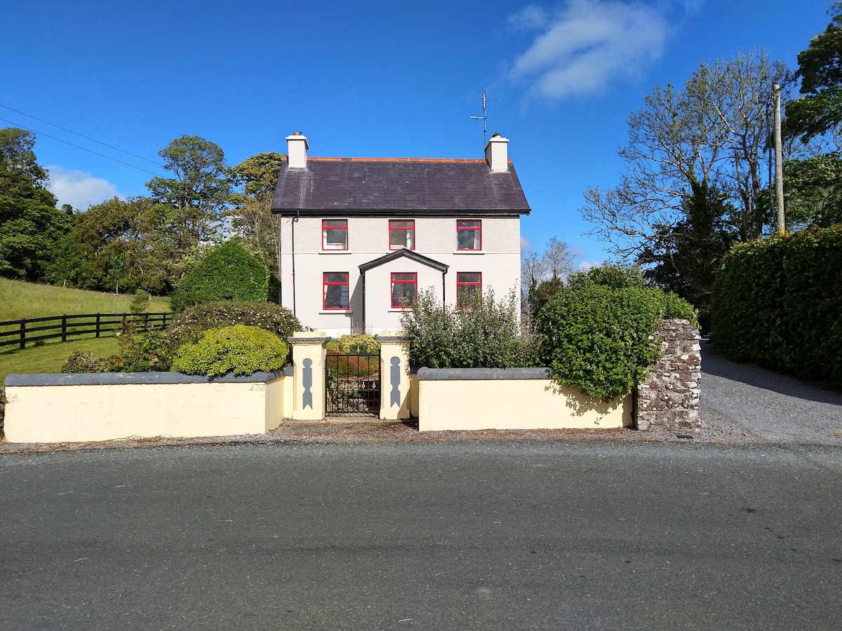 Enclosure in LisnarawerEnclosure · 495 yd
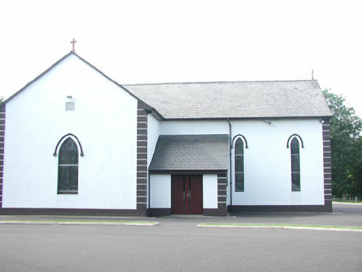 Catholic Church of Saint Peter and Saint Paulchurch/chapel · 971 yd
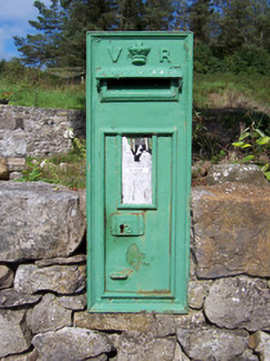 post boxpost box · 1198 yd
 European ashEuropean ash · 1491 yd
 Bawn in Longford DemesneBawn · 1.1 mi
 Giant's GraveArchaeological place · 1.1 mi
 Pigeonpark WoodForest · 1.2 mi
 Bawn in Tanrego WestBawn · 1.4 mi
 Lahanacappul IslandIslet · 1.8 mi
 Ballinlig PointHeadland · 2.0 mi
 Derinch PointHeadland · 2.1 mi